TerrainCheck · France
Sample report
Read the full report on a real parcel before you order.
Browse a real report
Actual extracts · parcel F 329, Brailly-Cornehotte (Somme) · report dated 16 November 2026
The sample has 100 pages and 55 maps: the outline, past and present views of the land, planning, hazards, nature, roads and nearby sales, with their sources. The length depends on what the sources publish about the parcel.
Open the full PDF100 pages, 55 maps · 26 MB PDF
The same report in French (PDF)
The report date is not the data date: the Sources pages give, layer by layer, the date read and the period described when the source publishes it.
An information report. Check permissions with the town hall. A detected alert is always visible. Missing data stays grey.
 Browse a sample report
14 pages of the report, as printed
Click a page to enlarge it.
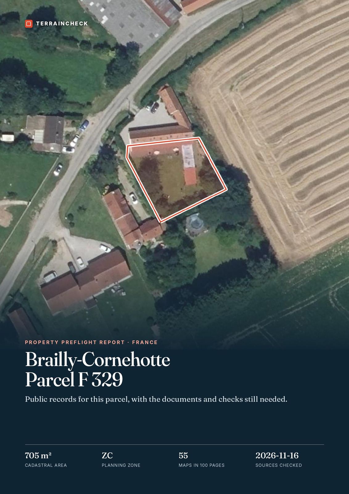
Page 1 of 100 · Cover · F 329, Brailly-Cornehotte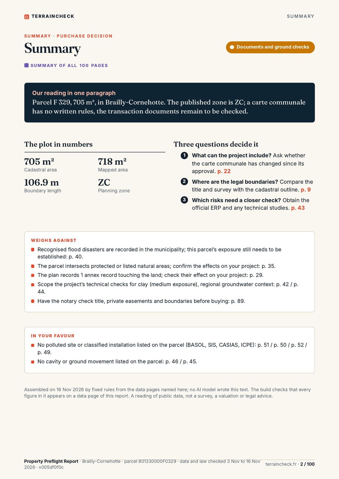 Page 2 of 100 · Summary: the purchase decision
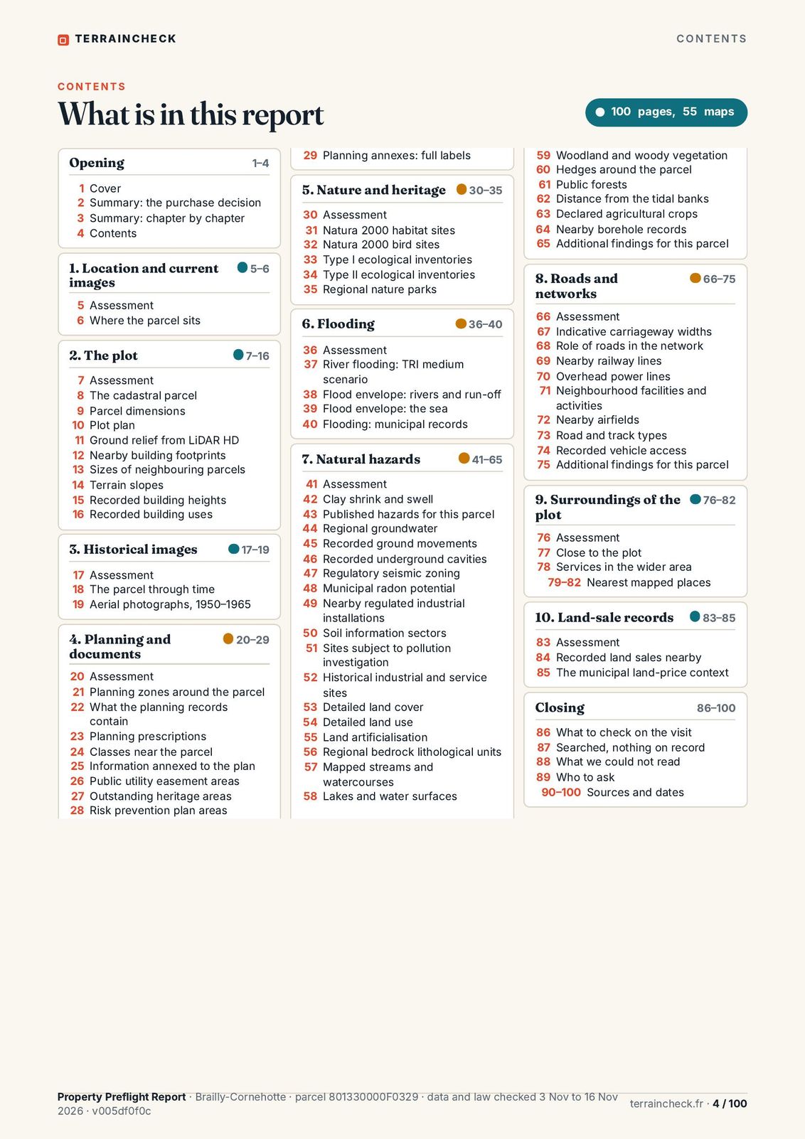 Page 4 of 100 · Contents
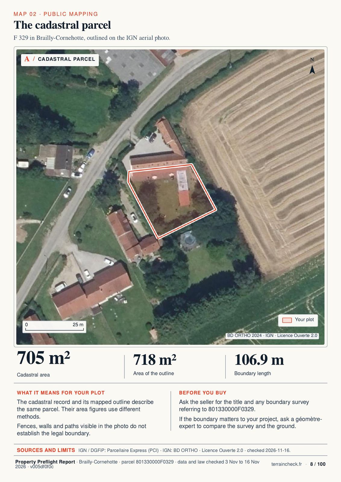 Page 8 of 100 · The cadastral parcel
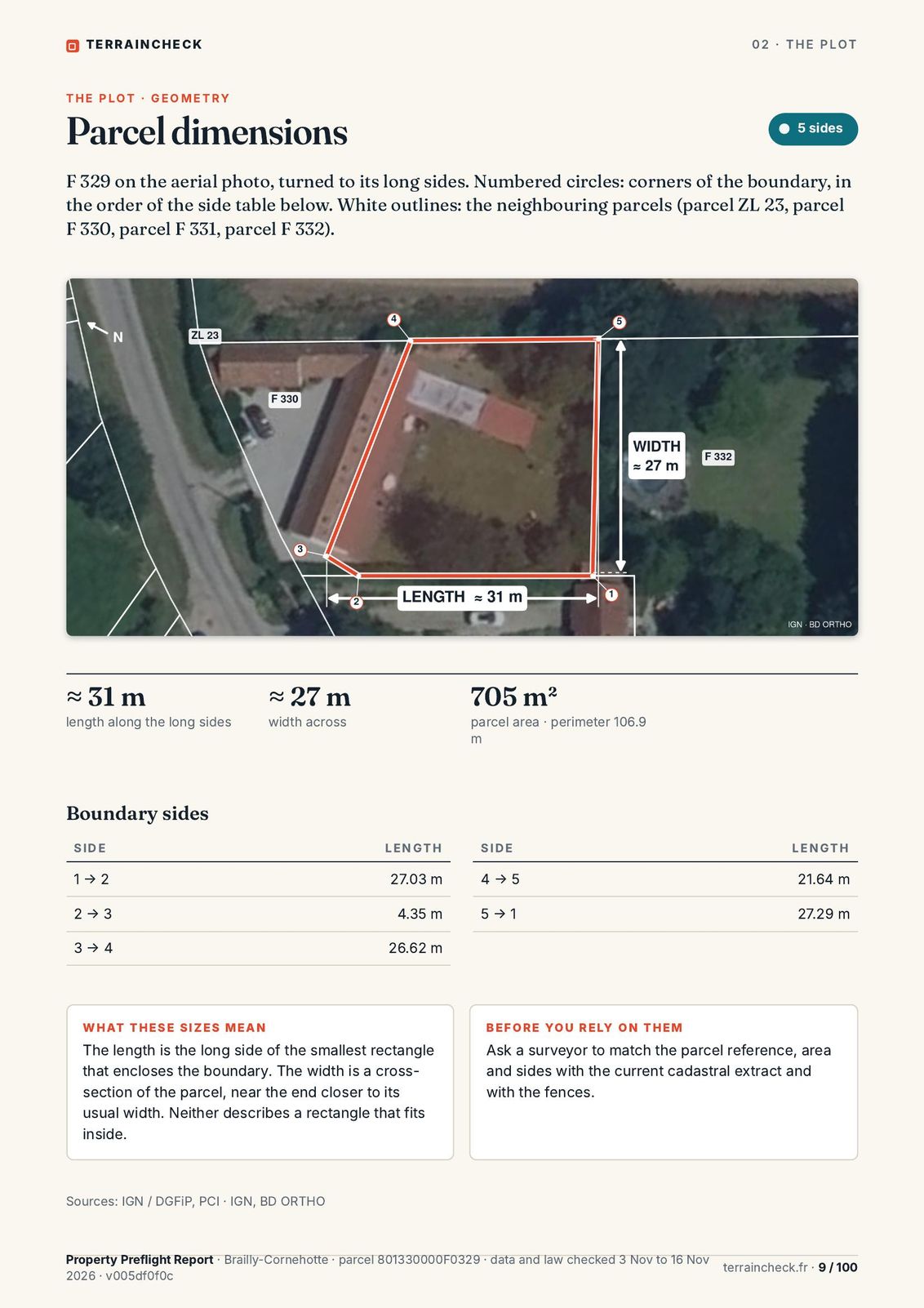 Page 9 of 100 · Parcel dimensions
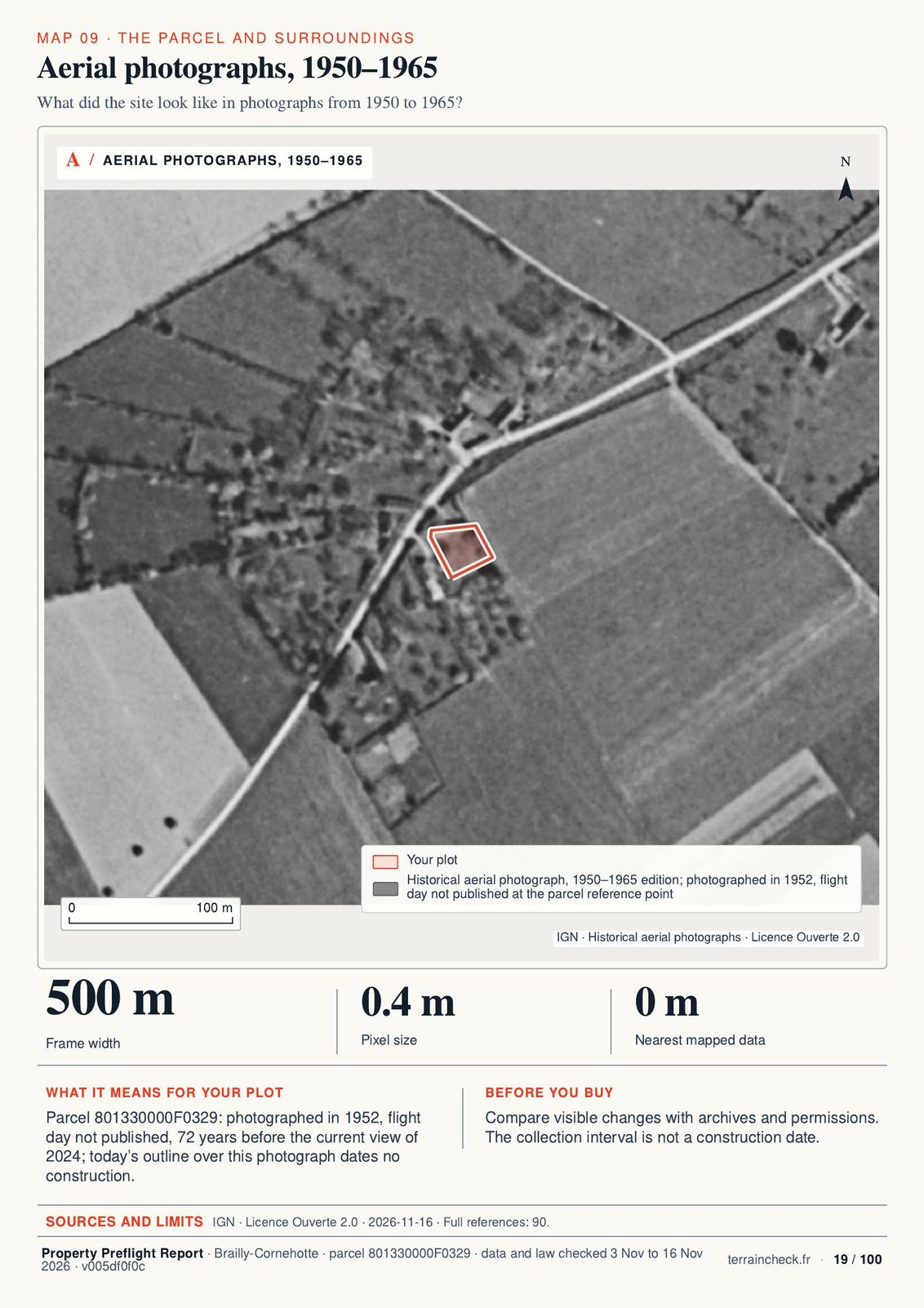 Page 19 of 100 · Aerial photographs, 1950–1965
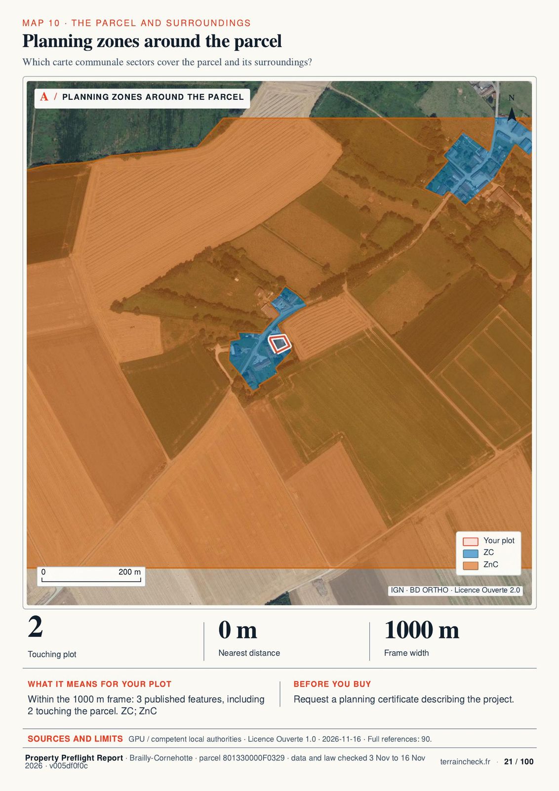 Page 21 of 100 · Planning zones around the parcel
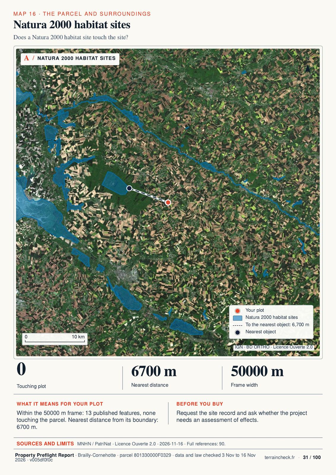 Page 31 of 100 · Natura 2000 habitat sites
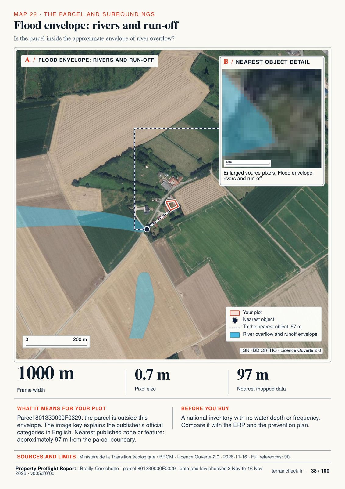 Page 38 of 100 · Flood envelope: rivers and run-off
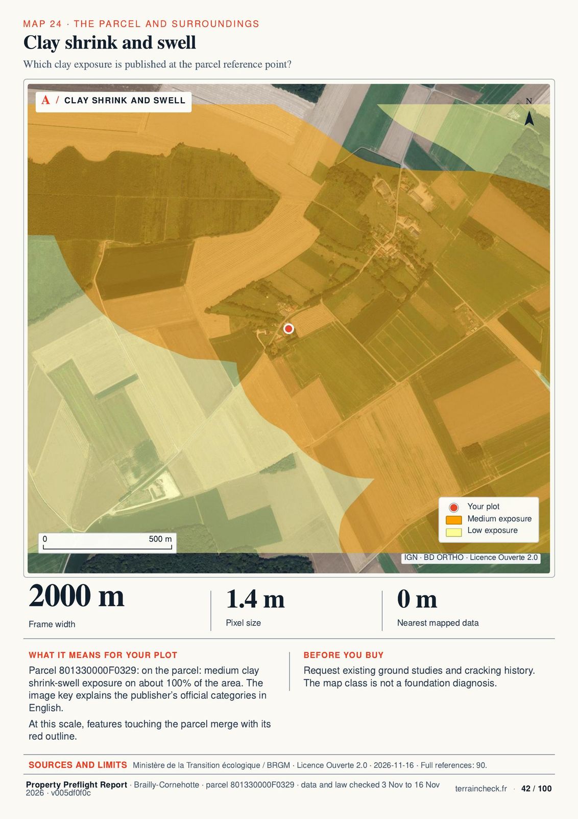 Page 42 of 100 · Clay shrink and swell
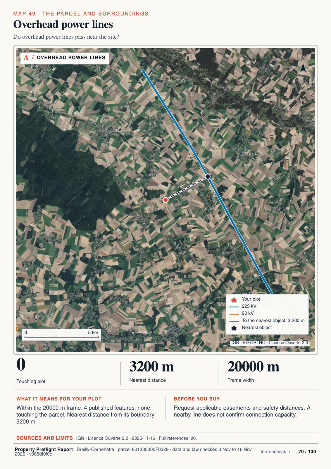 Page 70 of 100 · Overhead power lines
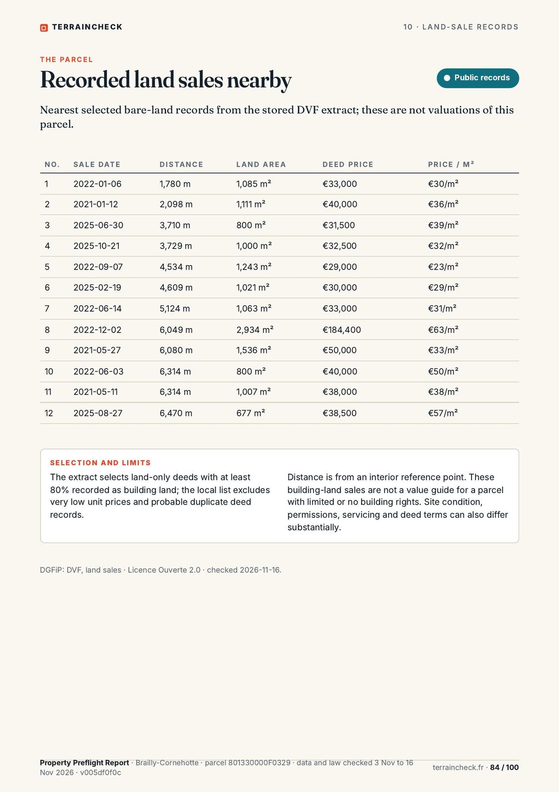 Page 84 of 100 · Recorded land sales nearby
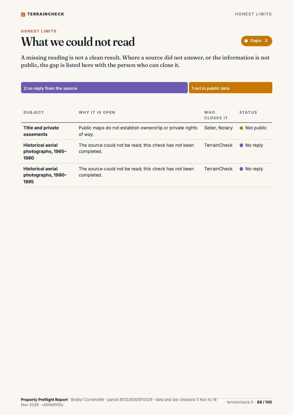 Page 88 of 100 · What we could not read
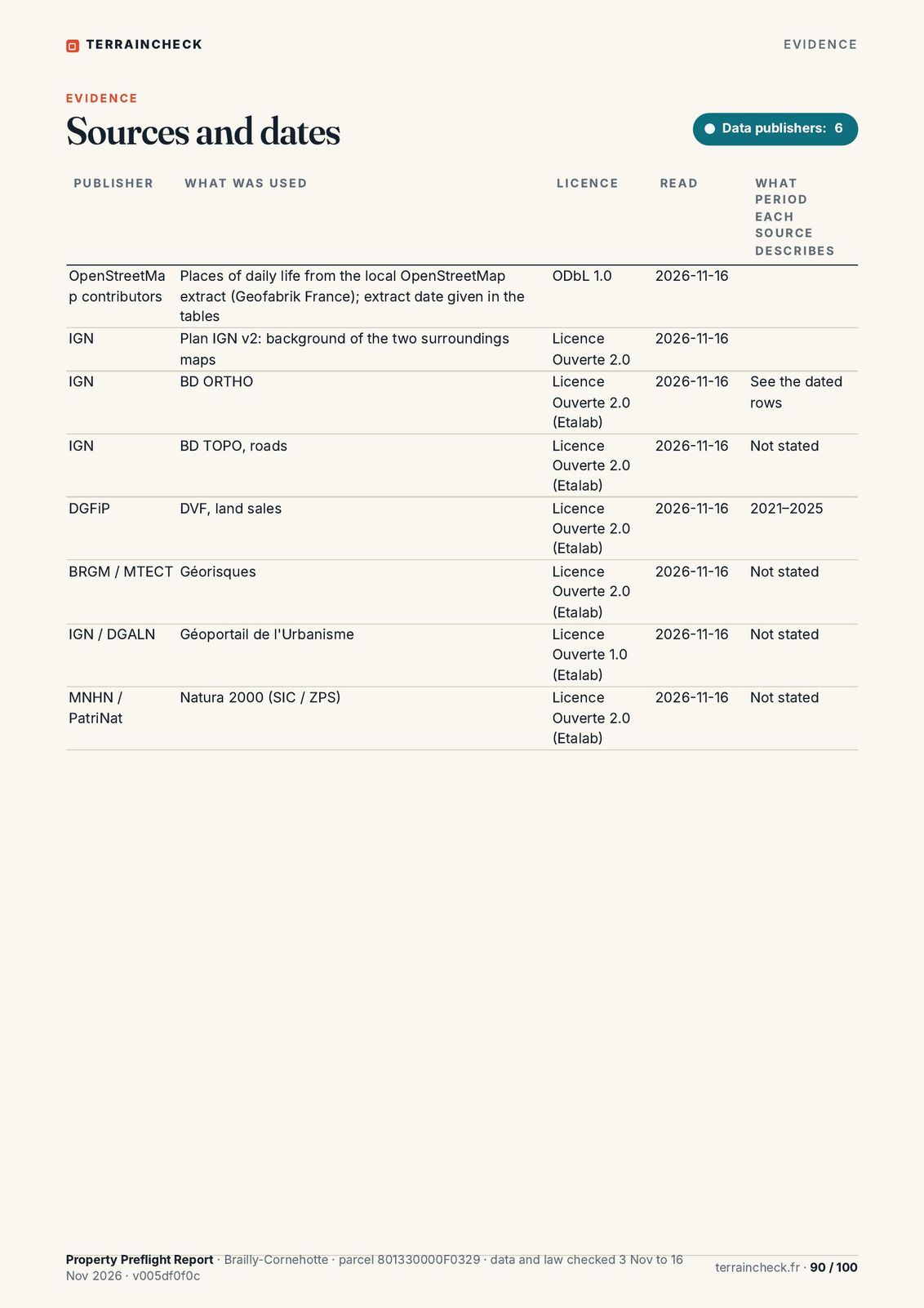 Page 90 of 100 · Sources and dates
What the report does not replace.
- The notaryTitle, private easements, pre-emption rights: the notary checks them all before the deed.
- The surveyorOnly a géomètre-expert sets boundaries. The cadastral map is a tax record, not proof.
- The town hallThe planning certificate says what is allowed on the parcel for your project.
- The sellerThe seller hands over the risk statement and, for building land in a medium or high clay zone, the soil study.