Pillar: Buying building land in France
Flood risk when buying land in France: Géorisques, PPRI and the risk statement
On this page
Check Géorisques, the local PPRI and the risk statement before buying land in France, and understand what flood maps and records cannot establish.
In brief
By TerrainCheck editorial team. Information checked 11 November 2026.
- Locate the plot on Géorisques, then read the applicable PPRI regulatory map and rules.
- Ask the seller for the risk statement (ERP) and review its date and attachments with your notaire.
- A partial map or no coloured area is not proof that flooding cannot occur.
Three sources, different questions
| Source | Purpose | Limit | Where and cost |
|---|---|---|---|
| Géorisques | Locate published hazards | Coverage and scale vary | Online, free |
| PPRI | Regulatory zoning and requirements | Rules depend on zone and project | Préfecture or mairie, free |
| ERP | Risk information for the buyer | Not a site-specific survey | Seller, notaire or Errial |
Check the documents currently applicable to your plot. Sources: Géorisques: information for buyers and tenants; Service-Public: risk statement. Accessed 11 November 2026.
How to check before buying
- Find the plot on Géorisques. Search by address or cadastral reference and note the layer, date and coverage. Free and normally a few minutes.
- Obtain the PPRI from the préfecture or mairie. Read both the regulatory map and the rules for that zone: possible restrictions, floor levels and access. Free; availability affects timing.
- Review the ERP with the seller and notaire. Duties depend on the property. Check the statement is up to date at signature and includes the required information. Géorisques’ Errial tool helps prepare it free.
- Visit and ask questions. Ask about past claims, water flow, insurance and your planned works. Your notaire and a specialist can explain implications and any fees.
A TRI flood map and a PPRI answer different questions
A flood map for a territoire à risque important d’inondation (TRI) shows a published scenario within a defined area. It helps identify a mapped exposure; it does not describe every mechanism, especially outside its coverage. Read the scenario name, legend, scale and publication date.
Where a flood prevention plan, or PPRI, exists, it contains a regulatory zoning map and written rules. It can control land use and works differently across its zones. A hazard layer is not itself the regulatory decision: obtain the applicable plan and check whether the parcel falls within it.
Do not transfer a colour or distance from a neighbouring municipality. Ask the mairie or préfecture for the current plan, amendments and the rule for the plot’s precise zone. If the plot crosses a boundary, ask the authority to confirm its position. The local regulation and your project determine the requirements to examine.
When should you receive the risk statement?
Where the information duty applies, the seller provides the état des risques to the prospective buyer at the first viewing, if one takes place, and attaches it to the preliminary agreement or deed. Ask about compensated past losses where disclosure is required. Your notaire can check the file for the particular sale.
The statement supplied must have been prepared less than six months earlier. If its information is no longer accurate, it must be updated by the date the preliminary agreement or deed is signed. An old copy from an advertisement does not establish that the file will still be current at signing.
Compare the property reference, maps and attachments with the land you visited. Ask the seller and notaire about missing or changed information. Errial helps prepare the statement using published data, but its output and the duties applicable to the property still need checking.
Beyond the map: visit, insurance and design
At the visit, look at ditches, slopes, water marks and access routes. Ask the seller about known past events and the mairie about public records. A visit during dry weather cannot measure the depth of a future flood.
Before committing, explain your plans to your insurer and request written terms, including cover, deductibles and exclusions. If a specialist should assess the site or project, agree the scope, price and timing. These checks supplement official documents; they cannot guarantee that damage will never occur.
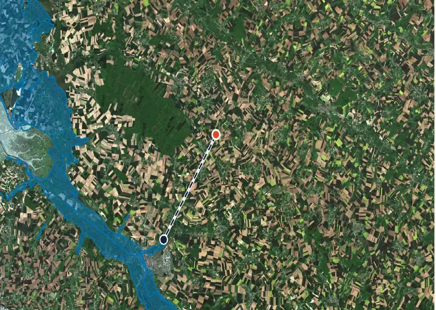
In the report: parcel F 274
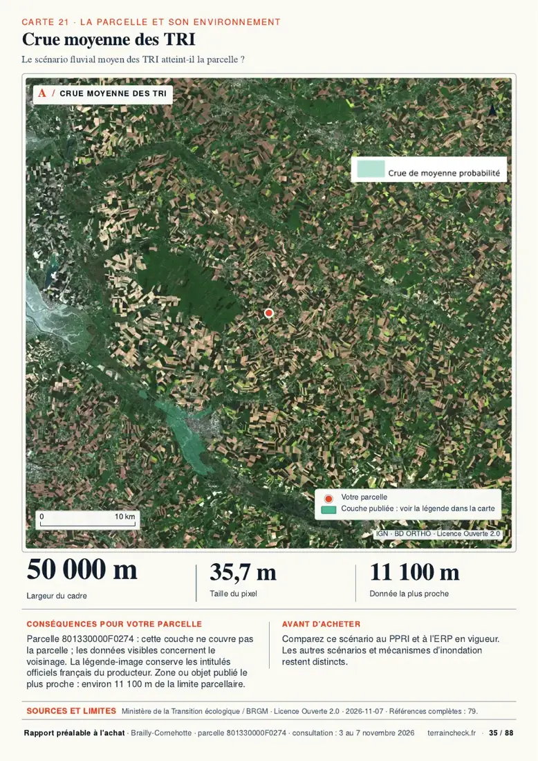
The map above is page 35 of the sample, showing the medium flood scenario for TRI areas. Page 41 states that this layer does not cover the parcel and places the nearest published area about 11,100 m away. This does not rule out every flood risk.
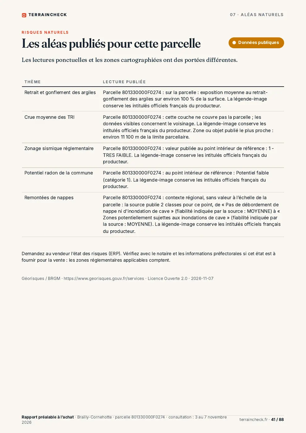
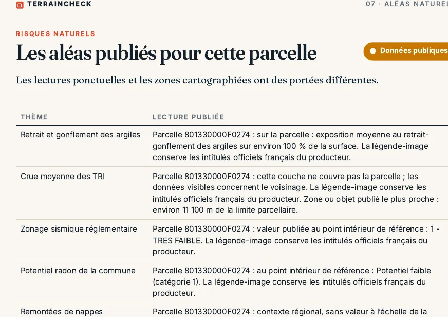
The report shows available public data and their limits; it does not replace the ERP. Choose a parcel to order its report.
Before signing: checklist
- Cadastral reference and layers consulted.
- Current PPRI map, rules and requirements.
- ERP and attachments reviewed with your notaire.
- Past claims, insurance, access and project conditions.
See also buying building land, reading the PLU and French planning certificates.
Keep reading
Buying building land in France: checks before the compromis
Géorisques: how to read the hazard report for a French plot and what it leaves out
France’s risk statement (ERP) for land: what the seller must give you, the six-month rule and what it leaves out
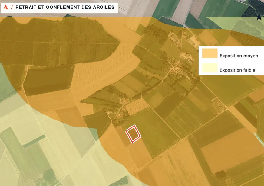
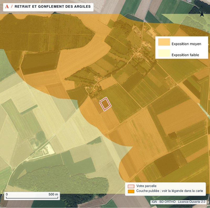
Clay shrink-swell hazard in France: reading the exposure map and what it means for building
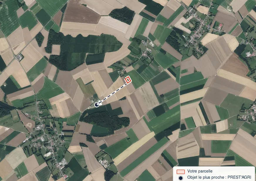
Classified sites (ICPE) near a plot in France, farms included: where to find them and what they mean
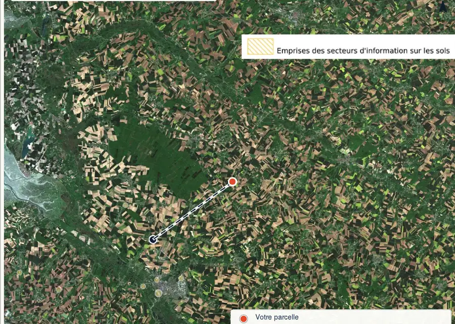
Polluted land in France: checking a plot in the SIS, CASIAS (formerly Basias) and former Basol records before you buy
Check these points on your parcel
Pick the parcel on the map: outline, PLU zone, hazards, clay, Natura 2000 and heritage are read for it, with source and date. Free check, PDF report for €29 (€39 in French and English).
