Pillar: Buying building land in France
France’s risk statement (ERP) for land: what the seller must give you, the six-month rule and what it leaves out
In France, the seller of land, buildable or not, in an area listed in article R125-23 of the Environment Code must give the buyer a risk statement (état des risques) at the first viewing, if there is one, then attach it to the preliminary contract or, failing that, the deed. First step: ask for it in writing and check its date; the free ERRIAL service on Géorisques lets you produce one for the same parcel.
In brief
- The statement is required for land, built or not, lying in an area listed in article R125-23: a natural, mining or technological risk prevention plan (plan de prévention des risques, approved, or ordered for the area under study), seismic zone 2 to 5, radon level 3, coastal retreat, or compulsory brush clearance.
- Handed over at the first viewing, it must have been drawn up less than six months earlier; the seller updates it if anything in it is no longer accurate when the preliminary contract or the deed is signed.
- The seller fills it in personally; no certified surveyor is needed. The ERRIAL service on Géorisques, the government hazard website, is free, and any other format is valid if it carries the same information.
- If required information is missing, or the statement is not attached as the law demands, the buyer may seek rescission of the contract or ask the court for a price reduction (art. L125-5, V).
- It has no clay-soil map (only a list of unfinished drought-damage works, attached on the sale of an insured property if the seller holds the insurer’s expert report) and does not cover floods or cavities outside the areas of an ordered or approved prevention plan: check those separately.
On this page
Who owes it, for which land, and when
The duty comes from article L125-5 of the French Environment Code, in its current version since 1 January 2025. It falls on the seller (or the landlord, for a let) of a property in one of the areas listed in article R125-23. Outside those areas section I of article L125-5 requires no statement, even if the land is exposed to some other hazard; past claims on a building fall under section IV (below).
Bare land is covered. The law has a separate route for unbuilt property: the statement is attached to the preliminary contract or, if there is none, to the final deed signed before the notaire (the public lawyer who conducts every French property sale). For a house, it goes into the bundle of compulsory surveys. The older name, état des risques et pollutions (ERP), appears on the 2018 form; the code now says état des risques, risk statement.
Any sale listing for a property concerned, on any medium, must carry the sentence “Les informations sur les risques auxquels ce bien est exposé sont disponibles sur le site Géorisques : www.georisques.gouv.fr” (information on the hazards affecting this property is available on Géorisques).
What the statement must contain
Article R125-24 sets the contents. Always: the date it was drawn up, the parcel number or numbers, and the R125-23 areas the property lies in. The rest depends on the area and, for past claims, on the property’s history, as the table shows.
| Area (R125-23) or situation | What the statement includes (R125-24) | Where to check |
|---|---|---|
| Natural, mining or technological risk prevention plan, approved or ordered | Map extract placing the property in the zoning, extract of the plan’s rules, any works required for the property and whether they were done | ERRIAL, which points to the current status of the plan; the préfecture website |
| Seismic zone 2 (low) to 5 (high) | Earthquake information sheet | Sheet on georisques.gouv.fr |
| Radon potential level 3 | Radon information sheet | Sheet on georisques.gouv.fr |
| Coastal retreat (PLU, carte communale or interim map) | Time horizon of exposure, rules for the zone, provisional status of an interim zoning, any duty to demolish and restore the site | Géoportail de l’urbanisme |
| Compulsory brush clearance (since 1 January 2025) | Information sheet on brush-clearance duties | Areas published on georisques.gouv.fr |
| All areas | Natural disaster decrees in the commune that affected the property and led to an insurance payout | The seller and their insurer |
| Sale of an insured property whose seller received the insurer’s expert report (drought claim) | Attached list of the works needed to stop existing damage, not carried out although paid for or eligible for payment, caused by ground movement from drought and soil rehydration while the seller owned it | The seller and their insurer’s expert report |
The table follows articles R125-23 and R125-24 of the Environment Code, in force since 1 January 2025. PLU: the local land-use plan; carte communale: the simpler plan of small communes; préfecture: the state’s office in each département. Sources: Environment Code, art. R125-23 (areas concerned); Environment Code, art. R125-24 (contents of the risk statement); Géorisques: “État des risques” form (MTECT / DGPR, April 2023). Accessed 12 November 2026.
Past claims also fall under section IV of article L125-5: where a building received a payout under the natural or technological disaster scheme, the seller must disclose any claim made while they owned it, or that they were themselves told about under the same rules. For land with nothing built on it, section IV does not apply; the list of decrees in the table remains.
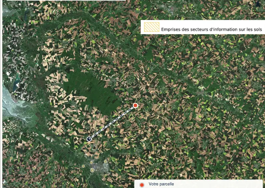
The Géorisques form’s box for “secteur d’information sur les sols” (official polluted-soil areas) points to a separate notice under article L125-7, attached to both the preliminary contract and the deed (articles R125-26 and R125-27).
Producing or checking one yourself
No certified professional is required. On errial.georisques.gouv.fr, in French only, an address or a parcel number is enough: the free service pre-fills the statement in five steps (locate, show hazards, complete, download, print). The owner must then check what it says and add any insured disaster claims.
Since an order of 9 June 2021, the statement may be supplied “sur tout support qui apporte les mêmes informations” (in any format carrying the same information) as the model. A paid-for version from a surveyor or agent carries no more weight than a complete, current ERRIAL statement.
Six months: how to count
The rule is article R125-25, II: the statement “remis lors de la première visite” (handed over at the first viewing) “est établi depuis moins de six mois” (must have been drawn up less than six months before). The seller then updates it if anything is no longer accurate on the day the preliminary contract or the deed is signed, and it must be attached to that document.
Example: a statement drawn up on 10 March and handed over at a viewing on 2 September is just under six months old; handed over on 15 September, it is over six months old and no longer meets the rule. If a prevention plan is ordered between the viewing and the contract, or a new disaster decree affects the land, the statement must be redone before signing, even if it is less than six months old.
What the risk statement does not tell you
The statement covers only the areas listed in article R125-23, with the documents shown in the table above for each, and the property’s past claims. The 2018 model said so at the top: known or foreseeable hazards that carry no specific regulatory duty or ban “ne sont pas mentionnés par cet état” (are not mentioned in this statement). According to the ministry, ERRIAL also shows hazards “non couverts par l’IAL” (not covered by the statement): clay soils, soil pollution, flooding; for flooding, only prevention plan areas go on the statement.
- Clay soils: no map or exposure box, even where exposure is high; only the list of unfinished drought works described in the table may be attached. For a building plot, Service-Public lists clay soils among the separate documents the seller must hand over before the preliminary contract in exposed areas; the map is explained in our guide to clay shrink-swell. The same goes for aircraft noise (airport noise exposure plans).
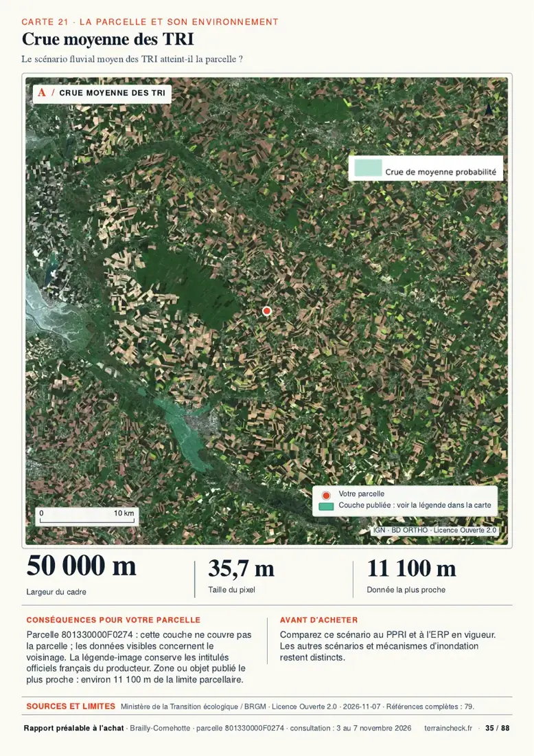
- Flooding without a prevention plan: a flood area mapped on Géorisques does not trigger the statement by itself. It takes a plan that is ordered (its study area is enough), approved, or has some provisions made immediately enforceable. How to check: flood risk when buying land.
- Cavities, groundwater flooding: even when mapped on Géorisques, they appear on the statement only where the property lies in a zone or study area of a prevention plan, ordered or approved.
- A nearby plant with no technological risk plan: only a PPRT (technological risk prevention plan) triggers the statement, through its study area once ordered, then its exposure area once approved. For the rest, see classified industrial sites.
In Brailly-Cornehotte, the commune (French municipality) of our example, the GASPAR database records two recognitions for the event that began on 25 December 1999: floods and mudslides, and ground movement. They go on a plot’s statement only if they affected it and led to a payout.
Missing, out-of-date or incomplete statement: what to do before signing
- Read the date and the parcel numbers on the statement you were given. No cost; two minutes (TerrainCheck estimate). Over six months old at the viewing, or a parcel that does not match the cadastral reference in the contract: ask for a new one.
- Produce your own statement for the same parcel on errial.georisques.gouv.fr. Free; ten to fifteen minutes (TerrainCheck estimate). Compare area by area: a plan or zone on yours that is missing from the seller’s needs explaining.
- Check where the prevention plans stand on the préfecture website or at the mairie (town hall): a plan ordered, approved or under revision changes the entry. No time limit set by the texts cited; an online search or a visit.
- Ask in writing for an updated statement from the seller, the agent or the notaire, attached to the preliminary contract. No reply deadline is set by the texts cited; get it before you sign, as the rule requires it to be current on that date.
- After signing, if the statement was missing or wrong on a point the law requires: the tribunal judiciaire (civil court) where the land lies can cancel the sale or reduce the price, with damages where appropriate. The texts cited set no deadline for acting; see a lawyer promptly.
Section V of article L125-5 lists the duties this remedy covers: section I, the third to fifth paragraphs of I bis, the last paragraph of II and section IV.
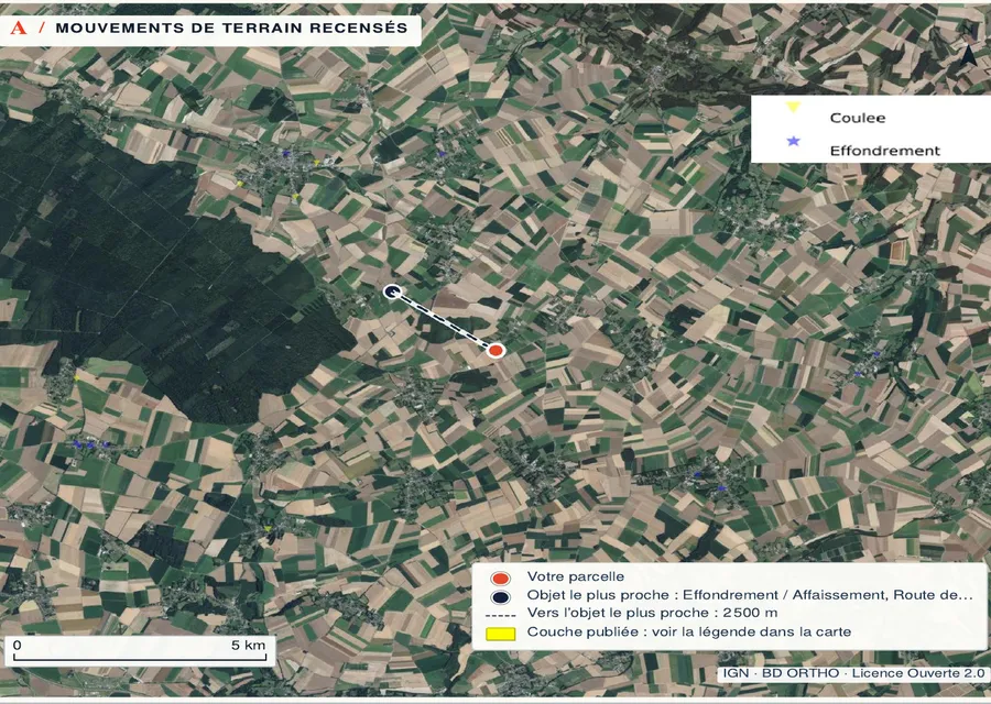
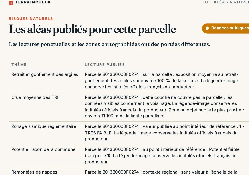
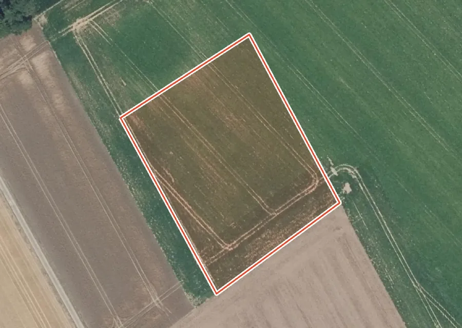
In the report: parcel F 274
Before the preliminary contract: six checks on the risk statement
- Statement less than six months old at the first viewing, with the right parcel numbers.
- Each area ticked comes with its document: map and rules extract, earthquake, radon or brush-clearance sheet.
- Compared with an ERRIAL statement you produced yourself.
- Disaster decrees with a payout for the property listed, or a statement that there are none; list of drought works attached if the seller holds an expert report.
- Statement updated on the date of the preliminary contract and attached; same check before the deed.
- Clay, floods outside a plan, cavities and pollution checked separately.
To read the other Géorisques layers, see how to read a Géorisques report, then go through the checks before signing a preliminary contract.
Common questions
Does land that cannot be built on need a risk statement?
Yes, if it lies in an area listed in article R125-23. The law covers all property, built or not: for unbuilt property the statement is attached to the preliminary contract or, failing that, to the deed.
Do I need to pay a surveyor for it?
No. The owner can fill it in free of charge with ERRIAL on Géorisques, or on any form that carries the same information as the official model.
Does a statement over six months old void the sale?
Not automatically. The buyer may seek rescission or ask the court for a price reduction in the cases listed in section V of article L125-5. The safer course is to insist on a current statement before signing.
Keep reading
Landslide and rockfall risk on a plot in France
Géorisques: how to read the hazard report for a French plot and what it leaves out
Flood risk when buying land in France: Géorisques, PPRI and the risk statement
Compromis de vente for land in France: the clauses to check before you sign
Polluted land in France: checking a plot in the SIS, CASIAS (formerly Basias) and former Basol records before you buy
Prevention plans and published hazards around a parcel
Pick the parcel on the map. The report places risk prevention plans, the seismic zone, radon potential, clay soils, flood areas and polluted sites, each with its source and date, explained in English. It does not replace the seller’s risk statement. Free preview, PDF report for €29 (€39 in French and English).
