Pillar: Buying building land in France
Landslide and rockfall risk on a plot in France
In France (excluding Mayotte), the national BDMvt database records known ground movements (more than 65,200 between 1900 and 2021, not counting the shrink-swell of clay soils) and you can search it free by cadastral parcel on georisques.gouv.fr. Start there, it takes a few minutes, then ask the town hall whether a risk prevention plan (PPR) for ground movements covers the plot: that plan is what can ban building or require a study.
In brief
- Three hazards not to mix up: a landslide, usually slow (from a few millimetres a year to a few metres a day); an éboulement, the French category for a rockfall of more than 100 m³ of rock (smaller falls of stones and blocks are classed separately); and a mudflow that starts from a waterlogged landslide.
- The national BDMvt database maps known events, each with a record. It is incomplete, notably in Normandy, and some records are located only to the commune (the municipality).
- An approved PPR (risk prevention plan) for ground movements is a public-law easement: it can ban building or set conditions, such as a prior study whose certificate goes with the building permit application.
- On land the approved PPR classes as unbuildable, insurers need not provide natural-disaster cover for buildings put up after the plan was published. They can only opt out when the policy is first taken out or renewed.
On this page
Landslide, rockfall, mudflow: what is the difference?
A ground movement is a mass of soil or rock shifting under gravity. Slow movements deform the ground gradually, sometimes unnoticed; fast ones happen all at once. For a buyer the difference matters: a slow landslide cracks a house over years, while falling stones endanger lives even in small volumes.
Géorisques, the government risk portal, separates the coulée boueuse, a mudflow coming from a landslide, from the coulée de boue, muddy runoff washing off fields or hills in heavy rain. In the national database both may appear simply as “Coulée”, so read the record itself.
| Hazard | Speed | Where | What you see |
|---|---|---|---|
| Landslide (glissement) | Slow: a few mm a year to a few m a day | Slopes and banks, above all in waterlogged ground | Cracks, a bulge at the toe, tilted trees |
| Mudflow (coulée boueuse) | Fast | Foot of a slope, below a landslide | Churned, very wet material |
| Rockfall (éboulement) | Fast | Cliffs, rock faces, blocks resting on a slope | Loose blocks; fractures that can be hard to spot |
| Collapse (effondrement) | Varies | Over a natural cavity or old quarry | A hollow, usually round |
| Clay shrink-swell | Slow: swells when wet, shrinks in dry seasons | Clay soils | Cracked buildings |
Volumes range from a stone (under 1 dm³) to a mass collapse of several million m³. Clay soils have their own map: see clay shrink-swell hazard. Sources: Géorisques: expert file on ground movements; Ministry for the Ecological Transition: ground movements; Géorisques: risk report for the F 274 address (clay shrink-swell). Accessed 13 November 2026.
What the public data shows
Since 1994 the BRGM, the French geological survey, has kept the BDMvt database of ground movements in mainland France, the French Caribbean, French Guiana and Réunion. According to the ministry’s statistics service (SDES), more than 65,200 movements other than clay shrink-swell were recorded in France excluding Mayotte between 1900 and 2021: cavity collapses lead (39%), ahead of landslides (26%) and rockfalls (23%).
For a given plot, open georisques.gouv.fr (in French only) and search by address, on the map or by cadastral parcel. It is free. Each record gives the type, date, reliability and how precisely the place is known, from the metre to the whole commune.
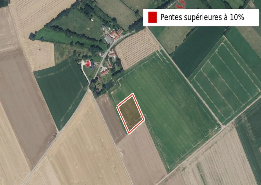
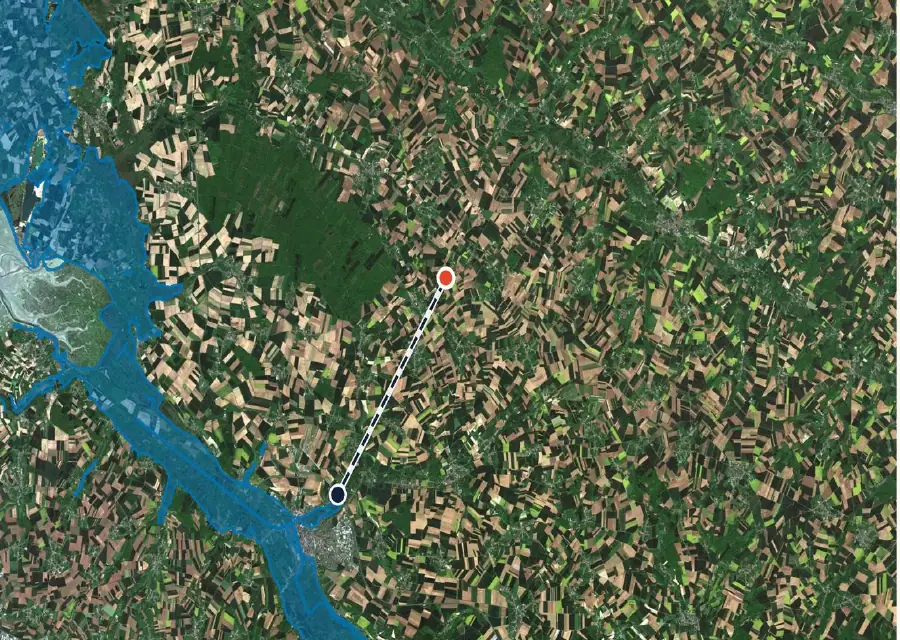
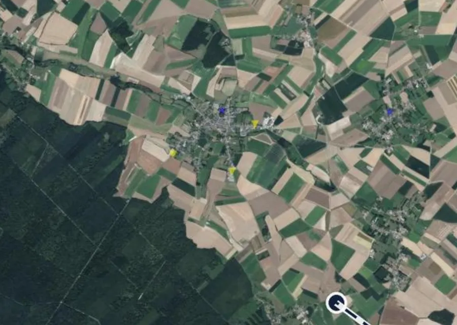
Around F 274 no record touches the parcel and no landslide is recorded within 10 km: there are 15 collapses or subsidence events and 7 flows. That fits a farming plateau in the Somme, which the SDES lists among the départements with more than four recorded movements per 10 km². A sloping plot in the Alps or Provence would look very different: the SDES puts landslide susceptibility as high on more than 45% of the land in Corsica, Provence-Alpes-Côte d’Azur and Auvergne-Rhône-Alpes.
On site: signs of a landslide
Géorisques lists the signs of an active landslide. Most can be spotted on foot in about an hour (TerrainCheck estimate), ideally after a wet spell, since landslides mostly happen in waterlogged ground.
Look too at what people have done to the slope. Géorisques lists human causes that follow development works: extra load at the top of an already unstable bank, digging at the toe that removes its support, water discharge, farming practices, tree clearance. If your house design involves a deep cut at the bottom of the plot or a soakaway at the top, ask the builder about it directly. For the extra foundation cost on a slope, see building on a sloping plot.
Risk prevention plans and building rules
The PPR (plan de prévention des risques naturels) is drawn up by the State and may cover ground movements. In exposed areas it can ban any kind of building or, where building stays allowed, lay down how it must be done. Once approved, the PPR is a public-law easement and is attached to the PLU (plan local d’urbanisme, the local zoning plan). According to the ministry, it can require or recommend adapted foundations, geotechnical studies and control of rainwater and wastewater.
If a PPR, approved or made immediately enforceable, makes building conditional on a prior study, the building permit application must include a certificate from the architect or an expert confirming the study was carried out and the design takes it into account. No PPR does not mean no rules: even in a commune with a PLU, a permit can be refused or granted with special conditions if the project threatens public safety because of its location (article R111-2 of the Planning Code).
The checks, in order
- Géorisques, by parcel. Ground movement layer and nearby BDMvt records. Free; a few minutes (TerrainCheck estimate).
- The mairie (town hall) or the online PLU. Ask whether a PPR covers ground movements and which zone the parcel is in, then read that zone’s rules. Free; no response time set by the texts cited.
- Site visit. The seven signs in the diagram, plus the state of nearby walls and roads. About an hour (TerrainCheck estimate).
- The seller’s risk statement. For bare land in an area covered by the law (a natural-hazard PPR prescribed or approved, among others), it is attached to the preliminary sale agreement. Details: the risk statement.
- Geotechnical study before the compromis (binding preliminary contract) if a sign or a PPR zone calls for it. Price and timing on quotation from a soil engineering firm, depending on the study. The types of study: geotechnical studies G1, G2, G5.
Stability studies and the cost of remedial works
A slope stability study is priced on quotation, according to the study required and the site; we found no scale of fees in the public sources cited. Get at least two quotes on the same brief and, if the study is not done before signing, ask the notaire (the public official who handles the sale) for a condition precedent tied to its result.
For works, Géorisques ranks the three families of landslide remedies from cheapest to most expensive: drainage, earthworks, then rigid reinforcement (inclusions rigides). On ground that is merely susceptible, drainage is sometimes enough. The cheapest prevention is to control every water discharge (wastewater, rainwater, drainage) and avoid any earthworks that could destabilise the ground, which belongs in the house and drainage design from day one.
Insurance and liability
Policies covering property against fire or other damage also cover the effects of natural disasters. Article L125-1 of the Insurance Code defines them as direct material damage that could not be insured otherwise (non assurables), whose decisive cause was the abnormal intensity of a natural agent, where the usual preventive measures could not stop it or could not be taken.
A natural disaster is recognised by an interministerial order (arrêté) that sets the areas, the periods and the types of damage covered. Recognition for the commune therefore does not automatically cover all landslide damage: read the order and your policy. You must notify your insurer no later than 30 days after the order is published, and a statutory excess applies, as set out on Service-Public.
The real trap for a buyer lies elsewhere. On land an approved PPR classes as unbuildable, insurers are not obliged to cover property, except property that existed before the plan was published. The same goes for buildings put up in breach of the administrative rules in force at the time and aimed at preventing natural-disaster damage. Insurers can only opt out when the policy is first taken out or renewed. Building outside the rules can leave you uninsured.
Sources: Insurance Code, article L125-1; Insurance Code, article L125-6; Service-Public: natural disaster, insurance compensation. Accessed 13 November 2026.
In the report: parcel F 274
Before the compromis: seven checks
- Géorisques searched by parcel and nearby BDMvt records read (type, date, location precision).
- PPR zone for ground movements known, or the town hall has confirmed there is no PPR.
- Zone rules read: ban, conditions, prior study required?
- Visit after rain: cracks, bulge, tilted trees, standing water, nearby walls and roads.
- Risk statement attached to the preliminary agreement if the parcel is in a regulated area.
- Geotechnical study done, or a condition precedent written into the compromis.
- House design with no deep cut at the toe and no water discharged at the top of the bank.
Next: read the Géorisques report for an address and go through the checks before the compromis.
Common questions
How can I tell whether a plot has already slipped?
Search for the parcel on georisques.gouv.fr and read the nearby BDMvt records: type, date, location precision. Ask the town hall about any PPR covering ground movements. The database only holds reported events, so you still need to visit the land.
Can I build in a ground movement PPR zone?
It depends on the zone. The PPR may ban building there or allow it on conditions, such as a prior study whose certificate goes with the permit application. Read the rules for the zone the parcel is in.
Does French insurance cover a landslide?
The natural-disaster cover included in property policies can pay for direct material damage that could not be insured otherwise, whose decisive cause was the abnormal intensity of the event, where the usual preventive measures could not stop it or could not be taken, and once an interministerial order recognises a natural disaster for the area, the period and the type of damage (Insurance Code, article L125-1). A building put up after a PPR was published, on land that plan classes as unbuildable, may not be covered.
Keep reading
Eyeing a sloping plot? Start with the public records
Pick the parcel on the map. The report shows the recorded ground movements around it and the distance to the nearest, then the hazard zones, the PLU, clay soils and recent sales nearby, each with its source and date and explained in English. It does not replace a site visit or a soil study. Free check, PDF report for €29 (€39 in French and English).
