Pillar: Buying building land in France
Building on a sloping plot in France: rules, earthworks and soil studies
In France a slope alone does not rule out building: that depends on the planning rules and the site’s hazards. Cut or fill of more than 2 m over 100 m² or more needs a prior declaration when it is not part of a building permit (Planning Code, art. R421-23); a building permit that changes the ground profile must show it in cross-section before and after. First step: draw the plot’s elevation profile free of charge on cartes.gouv.fr, then check how the local zoning plan (PLU) measures height.
In brief
- Measure: the “Calculer un profil altimétrique” tool on cartes.gouv.fr, the French state mapping portal, draws the elevation curve along any line, free of charge. Slope in % = height difference ÷ distance × 100: 1.2 m over 70 m is about 1.7%.
- Earthworks: outside a building permit, cut or fill of more than 2 m over 100 m² or more needs a déclaration préalable (prior declaration filed with the town hall), and a permis d’aménager (development permit) from 2 ha; in a site patrimonial remarquable (protected heritage area), near a listed monument, in a classified or proposed site or a nature reserve, the development permit applies from 100 m².
- Height: the PLU (the local zoning plan) says how it is measured; the national glossary recommends starting from the ground as it was before the works, on the date of the application.
- Runoff: lower land must take the natural flow, but the owner above may do nothing that makes it worse (Civil Code, art. 640); if the use or direction given to rainwater worsens it, compensation is owed (art. 641).
- Cost: there is no official scale; earthworks, foundations, retaining walls and access are priced by quotation, after a level survey.
On this page
Measuring the slope before you buy
Slope is expressed as a percentage: height difference divided by horizontal distance, times 100. Across a 15 m house front, a 10% slope means 1.5 m between the two gable ends; at 2%, 30 cm. That figure drives the volume of soil to move.
- Draw a profile on cartes.gouv.fr. The tool lets you draw a line on the map and shows the elevation curve along it; the profile can be exported as GeoJSON. The site is in French. Cost: nothing to draw the profile; saving it requires an account. Time: about a quarter of an hour per plot (TerrainCheck estimate). Draw two lines, one down the slope and one across it.
- Know which data you are reading. The IGN altimetry service (IGN is the national mapping agency) offers RGE ALTI on a 1 m grid, whose accuracy depends on how each area was surveyed, and the LiDAR HD terrain model on a 50 cm grid, whose coverage is still being extended.
- Check on site. Banks, low walls, wet patches at the bottom of the plot: photograph them. Time: the length of your viewing.
- Have levels surveyed for the project. The cross-section in the building permit file must place the house against the ground profile; a surveyor’s level survey, priced by quotation, gives the basis.
The only sharp break on the profile is around 880 m, outside the parcel: a drop of about 1.1 m in ten metres. Over F 274’s 70 m, a 10% slope would mean 7 m of height difference, against the 1.2 m measured.
Sources: cartes.gouv.fr help: elevation profile. Accessed 12 November 2026.
Cut, fill and walls: which permission
French planning law speaks of affouillement (digging out, the cut) and exhaussement (building up, the fill). What counts is the height or depth and the area affected. Earthworks needed for the house itself belong to the building permit, which must show the ground before and after.
| Works | Formality | Text |
|---|---|---|
| Cut or fill over 2 m on 100 m² or more, not needed for a building permit | Prior declaration | R421-23 f |
| Same height, on 2 ha or more | Development permit | R421-19 k |
| Over 2 m on 100 m² or more in a site patrimonial remarquable, near a listed monument, in a classified or proposed site or a nature reserve | Development permit | R421-20 |
| Earthworks needed for the house | In the building permit: cross-section before and after | R431-10 b |
| Retaining wall | No formality, except in a site patrimonial remarquable or near a listed monument | R421-3 a |
| Works below these thresholds | No planning formality, but the rules still apply | R421-18, L421-8 |
“Over 2 m” renders “excède deux mètres”; “100 m² or more” renders “supérieure ou égale à cent mètres carrés”. Sources: Planning Code, art. R*421-23; Planning Code, art. R*421-19 (version of 29/07/2026); Planning Code, art. R*421-20; Planning Code, art. R*431-10; Planning Code, art. R*421-3; Planning Code, art. R*421-18; Planning Code, art. L421-8. Accessed 12 November 2026.
A prior declaration is filed at the mairie (town hall) or online; Service-Public notes that some communes require their own online service. The standard processing time is one month (R423-23), with the extensions explained in our guide to permit processing times.
Sources: Service-Public: prior declaration; Planning Code, art. R*423-23. Accessed 12 November 2026.
Height and siting: what the PLU says
On sloping land, everything depends on where the measurement starts. The national planning glossary, a ministry technical sheet dated 27 June 2017, defines height as the difference in level between the highest point and the lowest point vertically below it, assessed against the ground as it was before the works, on the date the application is filed.
The glossary has not yet been made into a ministerial order: the sheet says so itself and recommends its use. The Planning Code applies its definitions to PLUs whose drafting or revision was launched while the term was defined in it (art. R151-15), and the plan may add detail (art. R151-16). So read the height definition in the glossary or general provisions of the commune’s PLU: natural ground, finished ground, lowest point or mid-point.
Without a PLU: the height-difference rule
In a commune (municipality) with no PLU or equivalent plan, the national planning rules set a distance from boundaries: unless the building touches the boundary, every point of it must be at least half the difference in altitude between that point and the nearest point of the boundary, and never less than three metres (art. R111-17). The higher a point of the building stands above the nearest point of the boundary, the further back it must be.
Sources: Ministry (DHUP), national planning glossary, sheet of 27/06/2017; Planning Code, art. R151-15 and R151-16; Planning Code, art. R111-1; Planning Code, art. R111-17. Accessed 12 November 2026.
Rainwater: are you at the top or the bottom?
Under the Civil Code, lower land must take the water that flows naturally from higher land “without human intervention having contributed to it”; its owner may not build a barrier against that flow, and the owner above may do nothing that makes the burden worse (art. 640).
Everyone may use the rain that falls on their land. If that use, or the direction given to the water, worsens the natural flow, compensation is owed to the owner below (art. 641). Roofs must drain onto your own land or the public road, never onto the neighbour’s (art. 681).
Fill or a downpipe aimed at the lower boundary must therefore be dealt with in the design. Buying the lower plot? Look at where the water comes from when you view it.
Sources: Civil Code, art. 640 and 641; Civil Code, art. 681. Accessed 12 November 2026.
Ground and stability: what is compulsory
A slope does not by itself trigger a compulsory soil study. The statutory duty covers zones exposed to clay shrink-swell (Construction and Housing Code, art. L132-4), meaning those where the national map shows medium or high exposure; low and residual exposure zones are not included (art. R132-3). In those zones, the seller of undeveloped building land supplies a preliminary geotechnical study, attached to the preliminary contract or, failing that, to the final deed, unless the plot lies in an area where planning rules do not allow single-family houses (art. L132-5). Study types and prices: geotechnical studies G1, G2, G5 and the clay hazard map.
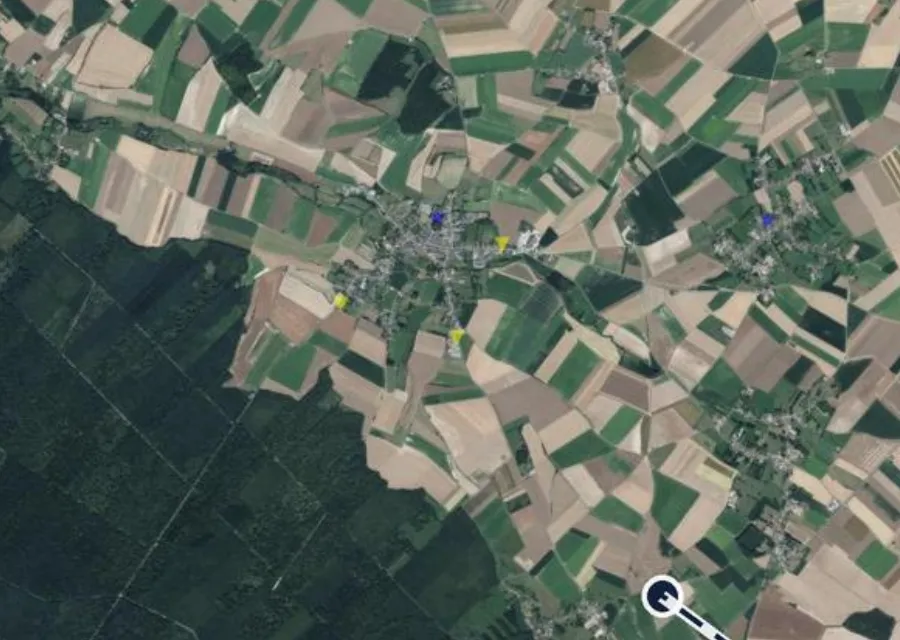
A permit may also be refused, or granted with special conditions, if the project threatens public safety because of its location (art. R111-2). On a hillside, check Géorisques for ground movements and any risk prevention plan: see reading a Géorisques report.
Sources: Construction Code, art. L132-4 and L132-5; Construction Code, art. R132-3 (medium or high exposure zones); Planning Code, art. R111-2. Accessed 12 November 2026.
Where the extra cost comes from
No official source publishes an extra cost per percentage of slope. Ask each contractor to price the following work against the same level survey.
| Item | What makes it vary | Who prices it |
|---|---|---|
| Earthworks | Volume of cut and fill, removal or reuse of soil on site | Groundworks firm, builder |
| Foundations | Soil type, height to make up, any basement | Soil engineer, builder |
| Retaining walls | Height and length of walls, drainage behind them | Mason, engineer |
| Access and utilities | Driveway ramp, trench lengths, rainwater to manage | Builder, network operators |
Cost drivers, without amounts: there is no public price scale. Sources: Planning Code, art. R*431-10. Accessed 12 November 2026.
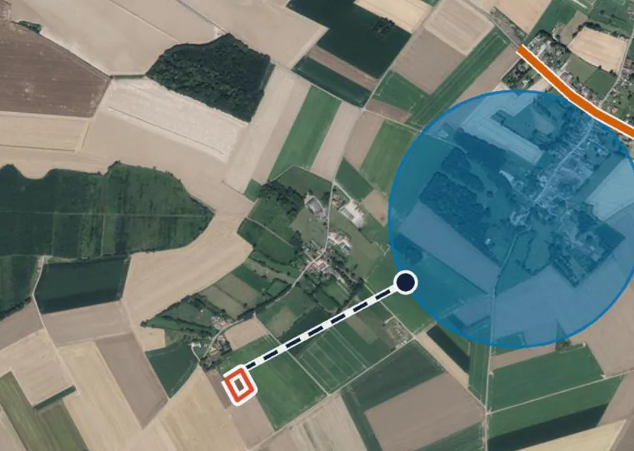
In the report: slopes around F 274
Before the compromis: six checks on the slope
- Two profiles drawn on cartes.gouv.fr, down and across the slope, with the height difference noted.
- Height definition read in the PLU (where the measurement starts).
- Cut and fill volume estimated: beyond 2 m on 100 m², a formality is needed outside the building permit.
- Protected area checked: site patrimonial remarquable, surroundings of a listed monument, classified site, nature reserve.
- Runoff observed at the viewing: where the water comes from, where it goes, what the neighbours have done.
- Clay zone and ground movements checked on Géorisques; preliminary study requested from the seller if it is due.
Common questions
At what slope does land become hard to build on?
No text sets a slope threshold. What triggers a formality is earthworks: outside a building permit, more than 2 m of height or depth over 100 m² or more (prior declaration, art. R421-23). Cost depends on the volume of soil, the ground and the walls needed.
Do I need permission to build up my land?
Yes above 2 m of fill over 100 m² or more when the fill is not needed for a building permit: a prior declaration, or a development permit from 2 ha. In a site patrimonial remarquable, near a listed monument, in a classified site or a nature reserve, a development permit from 100 m² (art. R421-20).
Can the neighbour above send water onto my land?
You must take the natural flow, but they may do nothing that makes it worse (Civil Code, art. 640). If they worsen it through the use or direction given to rainwater, they owe you compensation (art. 641), and their roofs may not drain onto your land (art. 681).
Is height measured from natural ground level?
The PLU says. The national glossary recommends the ground as it was before the works, on the date of the application; a PLU may add detail to that definition (art. R151-16).
Keep reading
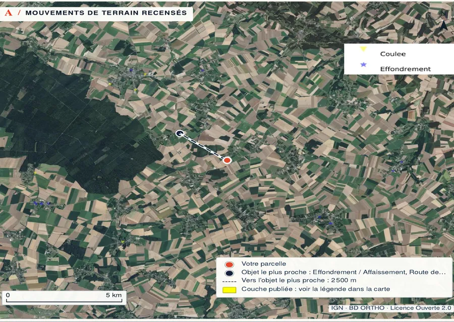
Landslide and rockfall risk on a plot in France
Soil studies in France (G1, G2, G5): when they are required, who pays and what they contain
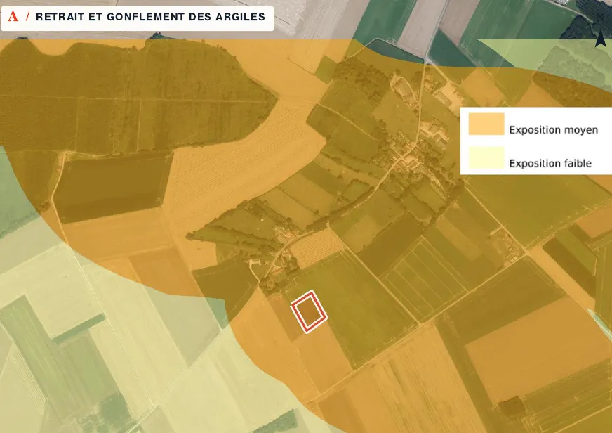
Clay shrink-swell hazard in France: reading the exposure map and what it means for building
Building permit in France: processing times, missing documents and tacit approval
Before you get the earthworks priced, see the published slope data around the plot
Pick the parcel on the map. The report shows the slopes above 10% published by IGN and the LiDAR HD relief, then the PLU zone, clay soils, ground movements and natural hazards, each with its source and date and explained in English. It does not replace a surveyor’s levels or a soil study. Free preview, PDF report for €29 (€39 in French and English).
