Pillar: Buying building land in France
Polluted land in France: checking a plot in the SIS, CASIAS (formerly Basias) and former Basol records before you buy
In France you can check a plot’s industrial past free of charge on the Géorisques website, in three State inventories: soil information sectors (SIS), the CASIAS map, which took over the old Basias database, and the former Basol records. Start with a search by address or parcel, then ask the seller for the written notice the law requires if the land is in a SIS or once hosted a classified installation under authorisation or registration.
In brief
- SIS (secteurs d’information sur les sols): plots where the State knows the soil is polluted, set by the préfet (the State’s representative in the département) and annexed to the local plan (PLU) or carte communale. CASIAS, which absorbed the old Basias database in November 2021: former activities that may have polluted, with no proof that they did. Former Basol: polluted or possibly polluted sites calling for action by the authorities.
- When land is sold, the seller must tell the buyer in writing if it lies in a SIS (Environment Code, art. L125-7) or if a classified industrial installation (ICPE) under authorisation or registration was operated on it (art. L514-20). If not, and pollution found on it makes the land unfit for the purpose stated in the contract (for a SIS, failing that, the intended use), the buyer has two years from discovering it to act.
- To build in a SIS, a building or development permit application normally includes a certificate from a certified consultancy that a soil study was done and taken into account (art. L556-2), save two exceptions in the article.
- The certificat d’urbanisme (planning certificate) states whether the land is in a SIS or on a CASIAS site (Planning Code, art. R410-15-1). Applying is free; the mairie (town hall) has one month for an information certificate.
On this page
Three inventories, three levels of certainty
All three are on Géorisques, but they say different things. A SIS flags known pollution; a CASIAS record only says that a potentially polluting activity once operated there.
| Inventory | What it lists | Legal effect | Limits |
|---|---|---|---|
| SIS (soil information sector) | Land where known pollution calls for soil studies and management measures, especially when the use changes. | Written notice to the buyer; a certificate for a permit; annexed to the PLU; stated in the planning certificate. | Leaves out, among others, classified installations still operating (unless the operator has gone or is insolvent) and working mines. |
| CASIAS (formerly Basias) | Former industrial sites and service activities: factories, garages, filling stations, laundries. | Stated in the planning certificate. A listing does not mean the soil is polluted. | Patchy archives, points placed at 1:25,000, some sites not located. |
| Suspected or proven pollution (formerly Basol) | Polluted or possibly polluted sites calling for preventive or remedial action by the authorities. | Information record; it lists the SIS and easements attached to the parcels. | Not exhaustive; does not cover every type of pollution. |
The three Géorisques inventories. A public-interest easement (servitude d’utilité publique) can also restrict the use of a cleaned-up site: it appears among the easements of the PLU. Sources: Environment Code, art. L125-6; Environment Code, art. R125-41 to R125-47; Géorisques: CASIAS (formerly Basias); Géorisques: suspected or proven pollution (formerly Basol); Ministry for the Ecological Transition: polluted sites and soils. Accessed 12 November 2026.
In figures, on 12 November 2026: the point layer of the CASIAS file published by the BRGM (the French geological survey) held 349,063 sites (about 322,970 when it was set up at the end of 2021), against 5,697 soil information sectors.
Tracing a plot’s past, step by step
- Géorisques, by address or parcel. On the page “Connaître les risques près de chez soi” (know the risks near you), enter the address or the cadastral reference, then scroll to “Pollution des sols, SIS et anciens sites industriels”. Free, in French; about ten minutes (TerrainCheck estimate). See reading the Géorisques report.
- The records. A CASIAS record gives the type of activity (NAF code), known dates and the archives consulted; a SIS record lists the parcels and what the State knows. CASIAS points are placed at 1:25,000 (1 cm for 250 m), so they cannot tell you whether the old site covered your parcel or the next one. Géorisques suggests comparing with old aerial photographs on the “Remonter le temps” website.
- The planning certificate. It states whether the land is in a SIS, on a CASIAS site, or on a former industrial site known to the planning office. Apply at the mairie, free; one month to process an information certificate. See the two kinds of planning certificate.
- The local plan. SIS are annexed to the PLU (plan local d’urbanisme) or the carte communale, and the plan may have its own rules on soil pollution. Free to consult at the mairie.
- The seller, in writing. Ask what activities occupied the land, whether there is fill, buried tanks or dumped material, and whether any soil study exists. No response time is set by the texts cited here, so ask before the preliminary contract.
Sources: Planning Code, art. R410-15-1; Planning Code, art. R410-9; Service-Public: planning certificate; Géorisques: CASIAS (formerly Basias); Géorisques: suspected or proven pollution (formerly Basol). Accessed 12 November 2026.
What the seller must tell you, and your remedies
Two articles of the Environment Code require written notice from the seller, recorded in the deed of sale.
| Situation | Seller’s duty | If it is not met |
|---|---|---|
| Land in a SIS (L125-7) | Tell the buyer in writing and pass on the information the State has published. | If pollution makes the land unfit for the purpose stated in the contract (or, failing that, the intended use), within two years of discovery: cancel the sale, recover part of the price, or have the land cleaned up at the seller’s cost if that cost is not out of proportion to the price. |
| Installation under authorisation or registration operated on the land (L514-20) | Tell the buyer in writing, with any serious hazards or drawbacks the seller knows of; a seller who was the operator must also say whether chemical or radioactive substances were handled or stored. | The same remedies within two years of discovery, but only if the land is unfit for the purpose stated in the contract: no fallback to the intended use. |
| CASIAS record only | No duty specific to CASIAS in these two articles; L514-20 applies if the activity was an installation under authorisation or registration. | According to Géorisques, a listing does not block a sale; it is information for the buyer. |
The duties add up: L125-7 applies without prejudice to L514-20 and to the risk statement (L125-5). Sources: Environment Code, art. L125-7; Environment Code, art. L514-20; Géorisques: CASIAS (formerly Basias). Accessed 12 November 2026.
Both remedies turn on the purpose stated in the contract; only L125-7 falls back on the intended use where none is stated. If the contract says you are buying to build a house, pollution is judged against that use. So have your project written into the contract; the clauses to look at are covered in our guide to the preliminary sale agreement.
There is also the Civil Code warranty against hidden defects: the seller answers for hidden defects that make the property unfit for its intended use (art. 1641), even if unaware of them; a clause excluding the warranty only covers defects the seller did not know of (art. 1643). The claim must be brought within two years of discovering the defect (art. 1648). Ask the notaire (the public official who draws up the deed) about any such clause before you sign.
Sources: Civil Code, art. 1641; Civil Code, art. 1643; Civil Code, art. 1648. Accessed 12 November 2026.
Building in a SIS: the soil study and the certificate
A building or subdivision project in a SIS requires a soil study setting out the pollution management measures that make the soil compatible with the future use (art. L556-2). For a project needing a building or development permit, the project owner, meaning you if you build, attaches a certificate confirming that the study was done and built into the design. The ministry calls it ATTES-ALUR.
What the study contains, and who signs it
- The study has a diagnosis (including historical and documentary research, vulnerability of the surroundings, field investigations, a conceptual model) and the management plan that follows from it (art. R556-2).
- The certificate comes from a consultancy certified in polluted sites and soils, or equivalent; it may be the firm that did the study (art. R556-3). According to the ministry, the only certification body so far is the LNE, which publishes the list of certified firms.
- No certificate is needed for a building permit inside an authorised subdivision whose application already included one, nor for a development permit filed by a body entitled to expropriate, where the subdivision was declared to be in the public interest.
- Project including a use that hosts sensitive groups (as defined in article D556-1 A): the project owner sends the certificate to the regional health agency (ARS) and, if the site hosted a classified installation, to the classified installations inspectorate, within fifteen days of receiving it and no later than the day the application is filed; the ARS may also ask for the study (art. R556-2).
Cost and time. There is no regulated fee: the study and certificate are priced on quotation (devis), according to the scope of the diagnosis and the measures to design. The texts cited set no time limit; plan the study before filing for the permit. On a site that hosted a classified installation, a project that changes the use of the land follows a similar regime (art. R556-1, with the certificate listed at point n of article R431-16 of the Planning Code).
Sources: Environment Code, art. L556-2; Environment Code, art. R556-1 to R556-3; Planning Code, art. R431-16; Ministry for the Ecological Transition: polluted sites and soils. Accessed 12 November 2026.
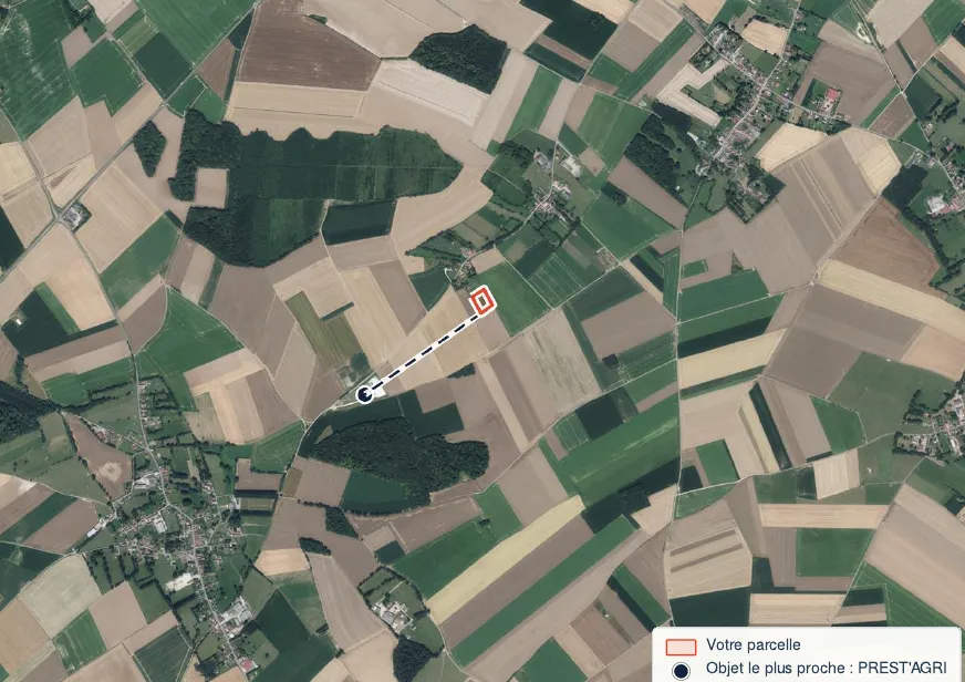
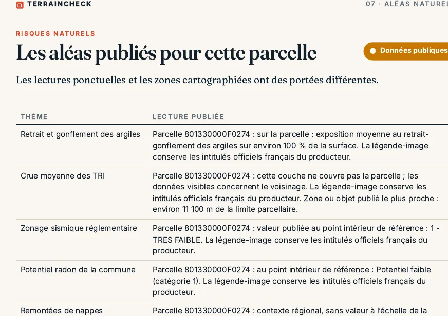
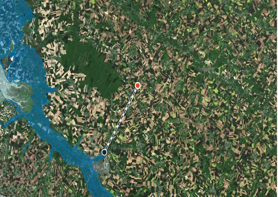
In the report: soil information sectors around F 274
Before the preliminary contract: polluted-land checklist
- Géorisques searched by address and by parcel; SIS, CASIAS and former Basol entries noted with their distance.
- Records read for any site on the parcel or the next ones; footprint checked against old aerial photos.
- Planning certificate requested; SIS and CASIAS statements read.
- Written notice from the seller obtained (L125-7 and, where relevant, L514-20) and copied into the contract.
- Intended use (house, subdivision) written into the contract; any warranty exclusion clause read.
- Land in a SIS and a building project: quotation from a certified consultancy before signing.
Read next: easements on a plot and the order of checks before the preliminary contract (compromis).
Common questions
Is land listed in CASIAS polluted?
Not necessarily: Géorisques states that a listing does not mean there is pollution. Only a soil survey answers the question.
Can I build a house on land in a SIS?
Yes, under conditions. A soil study sets out the management measures, and the permit application includes a certificate from a certified consultancy, except in the two cases excluded by article L556-2. The local plan may add its own rules.
How long do I have after discovering pollution?
If the seller failed to give the required notice (L125-7 or L514-20) and pollution found on the land makes it unfit for the purpose stated in the contract (for a SIS, failing that, the intended use): two years from discovery. A hidden-defects claim must also be brought within two years of discovering the defect (Civil Code, art. 1648).
Who pays for the soil study?
For a permit in a SIS, the project owner supplies the certificate (L556-2). A survey you order before buying is paid as agreed with the seller: none of the texts cited says who pays. For a former industrial site, the Géorisques CASIAS FAQ puts any investigations on the holder of the site, unless the former operator responsible still exists. Priced on quotation.
Keep reading
Classified sites (ICPE) near a plot in France, farms included: where to find them and what they mean
Géorisques: how to read the hazard report for a French plot and what it leaves out
France’s risk statement (ERP) for land: what the seller must give you, the six-month rule and what it leaves out
Compromis de vente for land in France: the clauses to check before you sign
Polluted-soil inventories around your parcel, measured and dated
Pick the parcel on the map. The report measures the distance to soil information sectors, former Basol sites and CASIAS records, then to classified installations and natural hazards, each with its source and date and explained in English. It is not a soil survey. Free check, PDF report for €29 (€39 in French and English).
