Pillar: Buying building land in France
French cadastral reference: how to find a parcel number and read it correctly
A French cadastral reference is a prefix (000 by default), a section and a parcel number, for example 000 F 274. You can find it free in a few minutes on cadastre.gouv.fr from the address, and the preliminary contract for a building plot outside a lotissement (planned subdivision) has to state it. Quoting it in every request makes sure officials look at the right plot.
In brief
- A French cadastral reference (référence cadastrale) is a section (usually one or two letters) and a parcel number within a commune, the French municipality: for example “F 274” in Brailly-Cornehotte.
- You can look it up free of charge on cadastre.gouv.fr, by address or by reference. You cannot search there by owner’s name.
- The cadastral map exists for tax purposes. It does not fix the boundaries and does not show who owns the land.
- Before you sign anything, make sure the reference in the listing is the land you visited. The preliminary contract for a building plot outside a lotissement has to quote it.
On this page
How to read a cadastral reference
Every commune is divided into sections, usually named by one or two letters. Within a section, parcels are numbered continuously from 1. Hence the short form you see in a deed or a listing: “F 274”, “AB 125”.
The short form only works once you know the commune. Tax records use a full 14-character identifier: the INSEE code of the département and the commune, a three-digit prefix, the section and the number. Our reports print this identifier at the foot of every page.
| Part | In the example | What to know |
|---|---|---|
| Commune code | 80133 | This is the INSEE code, not the postcode. Mixing the two up downloads the data of another commune. |
| Prefix | 000 | 000 by default. Where one commune has absorbed others, the sections of each former commune carry that commune’s code as their prefix. |
| Section | F (0F) | In the full identifier of the example, section F is written 0F. |
| Parcel number | 274 (0274) | Unique within the section, not the commune: “F 274” and “ZL 274” are two different plots. |
The four parts to check in a reference. Sources: Cerema, land data: parcel identifier (idpar); cadastre.gouv.fr: help on parcel search; data.gouv.fr: cadastre FAQ. Accessed 12 November 2026.
Where to find the reference
- Ask the seller or the estate agent for the références cadastrales, in writing. They have to appear in the description of the land in the compromis de vente (the binding preliminary contract) anyway. Cost: nothing.
- Search cadastre.gouv.fr. The site is in French only. Enter the commune (name or postcode), then the address, or the section and number if you have them. The site opens the map sheet that holds the parcel: note its section and number, then print the extract, which is free. Step by step: searching for a parcel on cadastre.gouv.fr and Géoportail.
- Visit the mairie (town hall). The cadastral map can be consulted there. Useful for a field with no street address: a member of staff can point to it on the paper plan.
- Check against the aerial photo. Compare the shape, tracks and hedges with what you saw on the ground. On a viewing trip, take photos with location switched on: they help you find the field again on the map at home.
When the reference does not match the land you saw
Most mistakes come from three situations. Only part of the parcel is for sale: the reference then covers the whole parcel, and you need to know exactly which part you are buying, on which plan, and whether a géomètre-expert (chartered surveyor) will be involved. A boundary survey becomes compulsory when land is divided as part of a lotissement (a plot subdivision).
Second, the commune has merged with another. The sections of the former commune keep their own prefix, so a search with 000 finds nothing or the wrong plot. Third, the drawing does not line up with the aerial photo. The cadastral map is a graphic representation and parcel outlines are not survey-grade.
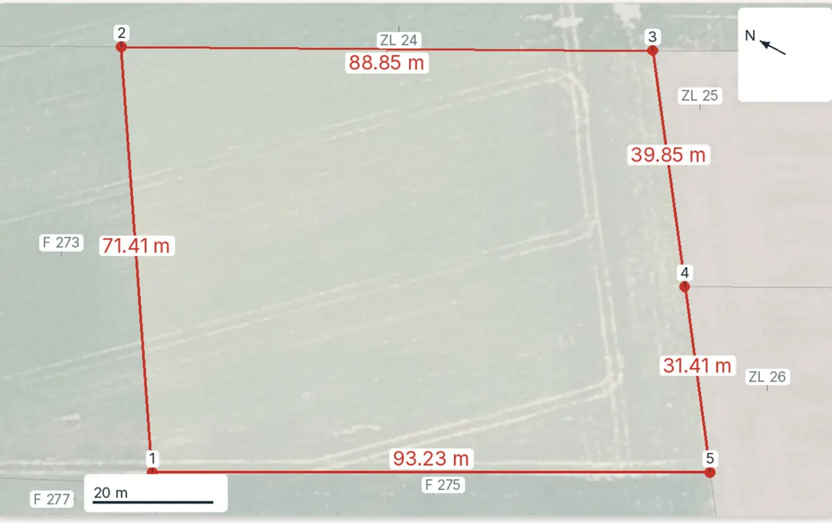
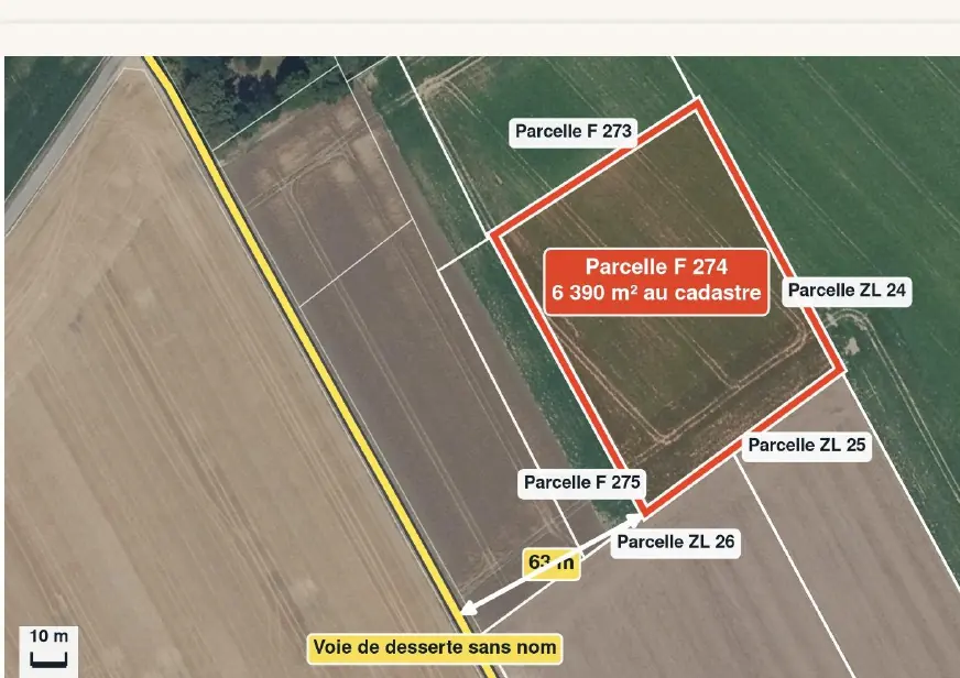
On the plan above, parcel F 274 borders plots in section F and in section ZL. Two neighbours, two sections: common along section edges, and a good reason always to quote the letter with the number.
What the reference does not prove
The reference identifies the plot; it says nothing about the rights attached to it. The cadastre exists for land tax. The table shows where each answer actually comes from.
| Question | Does the cadastre answer it? | Where to get the answer |
|---|---|---|
| Where exactly are the boundaries? | No. The map gives an idea of the layout without guaranteeing the real limits. | A bornage (boundary survey) by a géomètre-expert; the signed report fixes the limits for good. |
| Who owns it? | No, names are not on the map. | An extract of the matrice cadastrale from the land tax office; the land registry (service de la publicité foncière) for past owners, answer within 10 days. |
| Can I build? | No. | The local plan (PLU) and a planning certificate, at the town hall. |
| What are the hazards? | No. | The risk statement and the Géorisques website. |
The cadastral map is kept for tax purposes: it does not fix property boundaries and does not name the owner. Sources: Service-Public: how to consult the cadastre; Service-Public: boundary surveys; Service-Public: finding out who owns a property. Accessed 12 November 2026.
Requesting an ownership extract
Anyone may request an extract of the matrice cadastrale, using a form sent to the land tax office (centre des impôts fonciers). Paper extracts are free. A third party receives a version without the owners’ dates and places of birth.
One request covers a single commune and at most five properties, a parcel counting as one. The same person may not file more than five requests a week or ten per calendar month with the same office.
For land you are buying through an agent this is rarely needed: the notaire checks the chain of title. It is useful when you have spotted a plot that is not advertised and want to write to the owner.
Sources: BOFiP: release of ownership records (BOI-CAD-DIFF-20-20-10-10); Service-Public: how to consult the cadastre. Accessed 12 November 2026.
In the report: parcel F 274
Before the compromis: five checks on the reference
- Commune, section and number are written down, not just the name of the locality.
- The parcel on cadastre.gouv.fr has the shape of the land you visited (tracks, hedges, buildings).
- If only part is for sale: a plan of that part and the name of the géomètre-expert.
- Merged commune: prefix checked before any application.
- The same reference appears in the contract, the planning certificate and the risk statement.
Next steps: read the PLU for the parcel, apply for a planning certificate and go through the checks before the compromis.
Keep reading
Buying building land in France: checks before the compromis
Connecting land to utilities in France: costs, steps and timescales
Non-buildable land in France: price, permitted uses and pitfalls
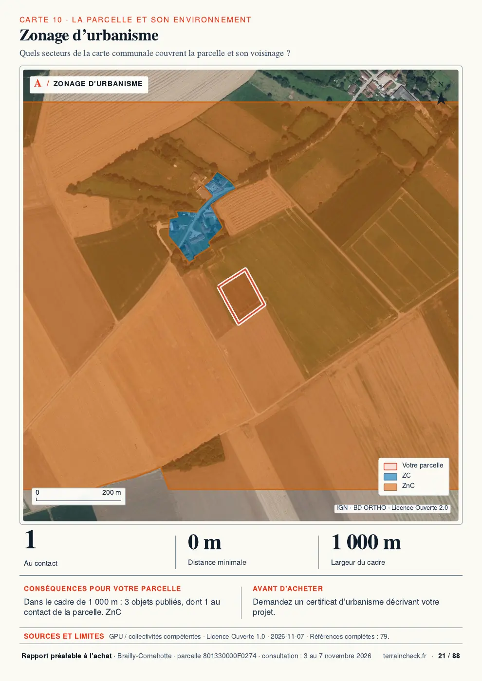
French planning certificates: information or operational CU before buying land
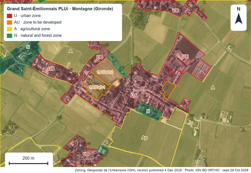
Reading the PLU before you buy: zone, rules, easements and pending changes
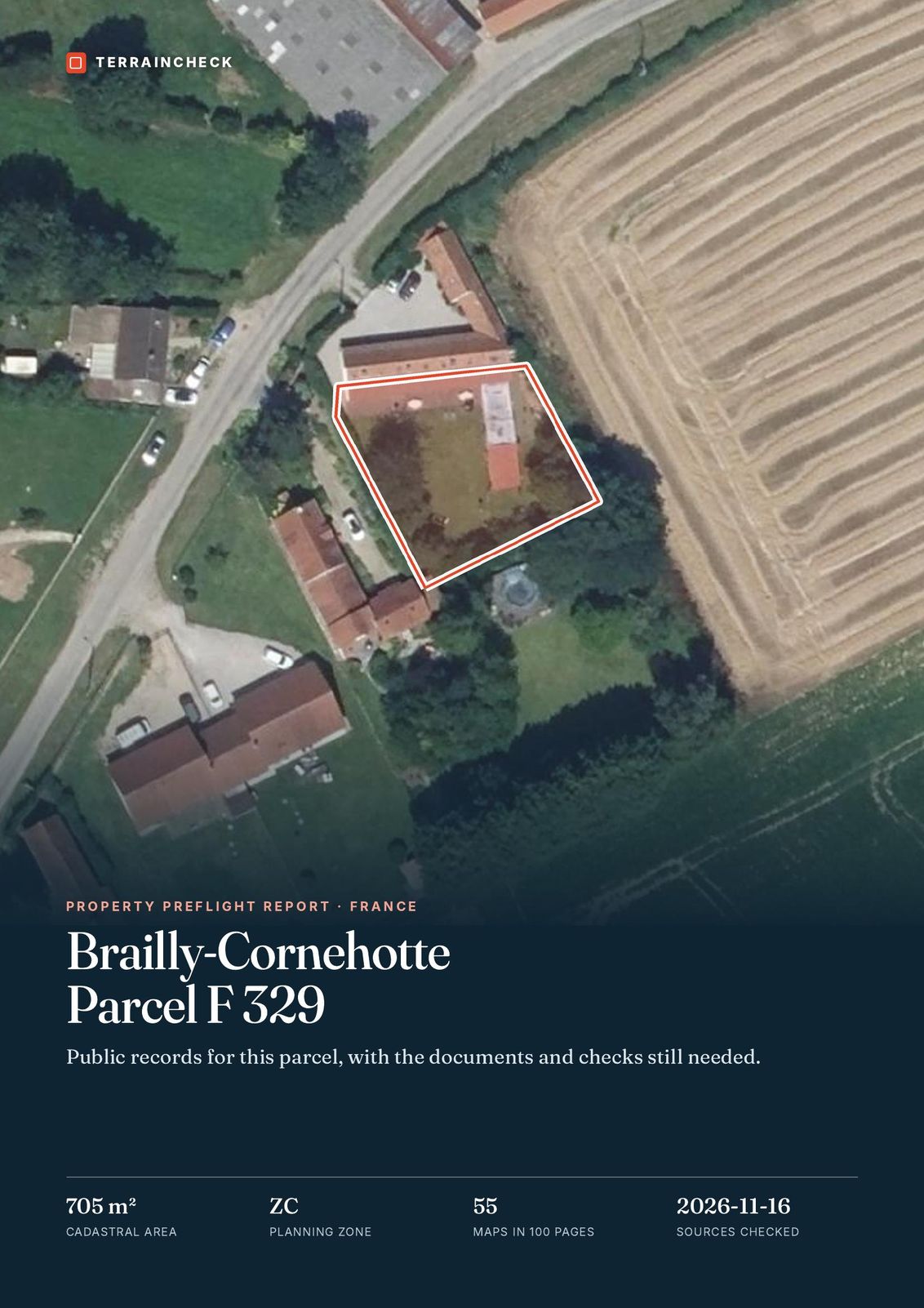
Browse the sample report: parcel F 329 in Brailly-Cornehotte
Got the reference? See what the public records say about the parcel
Pick the parcel on the map. The report starts from its outline and cadastral area, then sets out the PLU zone, natural hazards, clay soils, Natura 2000 and recent sales nearby, each with its source and date and explained in English. It does not name the owner. Free check, PDF report for €29 (€39 in French and English).
