Pillar: Buying building land in France
Building footprint and green-space ratios in France: how much can you build?
In France, in a commune (municipality) with a PLU, the local land-use plan, what you can build follows from the rules of the plot’s zone: maximum footprint, minimum unsealed ground, height and setbacks, where the plan sets them. First step: click on the plot on the national planning portal, the Géoportail de l’urbanisme, and download those rules, free, in a few minutes.
In brief
- Footprint (emprise au sol): the vertical projection of the building, overhangs included (art. R*420-1 of the French Planning Code). With a 30% maximum, an 800 m² plot takes 240 m², outbuildings included.
- Floor area (surface de plancher): enclosed, roofed floors measured inside the outer walls, without parts with 1.80 m of headroom or less and parking (art. R111-22). Above 150 m², a private person building for themselves must use an architect (art. R*431-2).
- Unsealed ground (pleine terre): the PLU may require a minimum share; in some communes listed by law it must, in the areas it marks out (art. L151-22). Its glossary gives the meaning.
- Planning certificate (certificat d’urbanisme): free, 1 month (2 for the operational planning certificate, certificat d’urbanisme opérationnel). It freezes the rules for a permit application filed within 18 months, except public safety and health rules, but does not approve your calculation.
On this page
Footprint, floor area, unsealed ground: three different measures
The footprint is the building seen from above, overhangs included (art. R*420-1). Ornaments such as mouldings and marquises (light canopies over a door) are left out, as are roof overhangs not carried on posts or corbels; a projecting balcony counts.
The floor area adds up the enclosed, roofed floors, measured from the inside face of the outer walls (art. R111-22). It leaves out, among other things, parts with 1.80 m of headroom or less, parking and lofts that cannot be converted. A two-storey house can therefore have more floor area than footprint.
Unsealed ground is a local rule. The Code lets the plan require that unsealed or wildlife-friendly surfaces make up a minimum share of the landholding, weighted “by reference to an equivalent area of pleine terre” (art. R151-43). What the commune counts as pleine terre is defined in the glossary of its rules.
That share becomes compulsory, in the areas the plan marks out, for communes in a continuous urban area of more than 50,000 inhabitants listed under article 1406 bis of the General Tax Code and for communes of more than 15,000 inhabitants with strong population growth listed under article L302-5 of the Construction Code (art. L151-22, version of 21 February 2026). It does not cover renovation, refurbishment or change of use that leaves the footprint unchanged. The development tax uses yet another measure, the taxable area.
Sources: Planning Code, art. R*420-1; Planning Code, art. R111-22; Planning Code, art. R151-43; Planning Code, art. L151-22; Service-Public: areas of a building. Accessed 13 November 2026.
Where to find the rules in the PLU
- Download the rules for the zone. On the Géoportail de l’urbanisme (the national planning portal, in French), open the map tab, enter the address and click on the plot: a panel offers the documents that apply to it. Free; a quarter of an hour (TerrainCheck estimate). A version in force before 1 January 2023 still applies even if missing from the portal: if in doubt, ask the mairie (town hall).
- Read the glossary before the articles. The plan uses the national planning glossary in force when its drafting or revision was launched, and may refine or add to it (art. R151-15 and R151-16). Time: half an hour (TerrainCheck estimate).
- Note the zone’s rules: footprint, height, position relative to roads and boundaries, open space and planting. Note which area each percentage applies to. Time: an hour (TerrainCheck estimate).
- Check the zoning map. Works must comply with the written rules and their maps (art. L152-1).
A PLU whose content comes from the former articles R123-1 to R123-14 keeps applying them until its next full revision. Former article R*123-9 put footprint at item 9, height at item 10 and open space at item 13: start with articles 9, 10 and 13 of the zone. In a newer plan, look for “emprise”, “hauteur” and “espaces libres”. Wider method: reading the PLU before buying.
Sources: Géoportail de l’urbanisme: FAQ; Planning Code, art. R151-15; Planning Code, art. R151-16; Planning Code, art. L152-1; Planning Code, former art. R*123-9 (repealed); Ministry for the Ecological Transition: PLU guide (2020). Accessed 13 November 2026.
A worked example, step by step
The rules below are assumed, to show the method: a rectangular 800 m² plot (20 m frontage, 40 m deep), maximum footprint 30% of the plot, minimum unsealed ground 40%, setbacks of 5 m from the road and the back boundary and 3 m from the side boundaries. Your PLU will have its own figures.
| Step | Calculation | Result |
|---|---|---|
| 1. Maximum footprint | 800 m² × 30% | 240 m² |
| 2. Minimum unsealed ground | 800 m² × 40% | 320 m² |
| 3. Area inside setbacks | (20 − 3 − 3) × (40 − 5 − 5) | 420 m², not the limit here |
| 4. Project footprint | 160 (house, garage) + 32 (pool) + 8 (shed) | 200 m², 40 m² to spare |
| 5. Project unsealed ground | 800 − 200 − 30 (terrace) − 60 (drive) | 510 m², above 320 |
| 6. Floor area | floors allowed by the height rule | architect above 150 m² |
Rules and dimensions assumed. The strictest rule wins: here the footprint (240 m²), not the setbacks (420 m²); on a narrow plot it can be the other way round. Sources: Planning Code, art. R*420-1; Planning Code, art. R111-22; Planning Code, art. R*431-2. Accessed 13 November 2026.
A two-storey house of 16 × 8 m on the ground, garage separate, can exceed 150 m² of floor area: if the upper floor covers the whole ground floor, its 128 m² footprint is repeated on two levels, and the result depends on wall thickness, the stairwell and the upstairs parts with 1.80 m of headroom or less (TerrainCheck estimate). Have the floor area worked out on the plans before deciding to do without an architect. For scale: in 2024, the average plot bought to build a single-family house in France measured 932 m², from 637 m² in Pays de la Loire to 1,263 m² in Bourgogne-Franche-Comté. At the example’s 30%, that average plot would take about 280 m². The average 2024 house had 118 m² of living area (surface habitable) according to the SDES, the ministry’s statistics office: a different measure from floor area, which cannot be compared directly with the 150 m² threshold.
Height, setbacks and the zoning map: what cuts the area
The plan may set maximum footprint and height rules and express them relative to roads, side boundaries and other buildings on the same property (art. R151-39). Height sets the number of floors: check how the plan measures it.
The zoning map can take away land that the percentage seems to offer. Protected woodland status (espace boisé classé) bans any use of the land likely to compromise keeping the trees (art. L113-2). In urban zones the plan may mark land as unbuildable whatever services reach it (art. L151-23). Plot split by a zone boundary: see partly buildable plots.
Sources: Planning Code, art. R151-39; Planning Code, art. L113-2; Planning Code, art. L151-23. Accessed 13 November 2026.
Pool, terrace, shed: what counts towards the footprint
According to Service-Public, the official information site, the footprint includes outbuildings, “for example garage, pool, auvent, covered terrace”; the auvent, a porch roof, counts, unlike a marquise. A terrace at natural ground level without deep foundations is left out, as is uncovered parking.
| Item | Footprint | Formality (outside protected areas) |
|---|---|---|
| Uncovered pool | Yes | None up to 10 m² of water; prior declaration up to 100 m², with no cover or a cover under 1.80 m |
| Ground-level terrace | No, if at natural ground level without deep foundations | None |
| Garden shed, carport | Yes | None up to 5 m²; prior declaration up to 20 m²; above that, building permit |
Thresholds for a new structure no more than 12 m high, outside a site patrimonial remarquable (protected heritage area), the surroundings of historic monuments and listed sites or sites proposed for listing. For the shed, the thresholds apply to footprint and floor area alike. Sources: Service-Public: areas of a building; Planning Code, art. R*421-2; Planning Code, art. R421-9; Planning Code, art. R*421-1. Accessed 13 November 2026.
Getting it confirmed before you buy
- Write to the planning office (the mairie, or the group of communes, intercommunalité, if planning is its job) with the cadastral reference, the zone and your calculation. Cost: nothing. Time: no time limit set by the texts cited.
- Apply for an information certificate (art. L410-1 a): it states the planning rules that apply to the plot. Free; the mairie has 1 month from receipt of the application (art. R*410-9).
- Or an operational planning certificate (certificat d’urbanisme opérationnel, art. L410-1 b) describing your project: 2 months from receipt (art. R*410-10). Its answer covers only the approximate position of the buildings, their use and the public services reaching them (art. R*410-13), not the exact area.
A permit application filed within 18 months of the certificate keeps the rules of its date, except those aimed at public safety or health. Detail: information or operational planning certificate.
Sources: Planning Code, art. L410-1; Planning Code, art. R*410-9; Planning Code, art. R*410-10; Planning Code, art. R*410-13; Service-Public: planning certificate. Accessed 13 November 2026.
In the report: planning prescriptions around parcel F 274
Before the compromis: six checks
- PLU zone identified and the rules in force downloaded.
- Glossary read: meaning of footprint, unsealed ground and the reference plot.
- Maximum footprint, unsealed ground, height and setbacks drawn on a dimensioned plan of the plot.
- Pool, shed, carport and covered terrace counted in the footprint.
- Zoning map checked: protected woodland, protected features, unbuildable land.
- Planning certificate requested; permit condition written into the compromis.
Common questions
Does a swimming pool count towards the footprint?
Yes under the national definition: Service-Public lists the pool among the outbuildings that make up the footprint. The PLU may refine that definition for its own rules; read its glossary.
Does the plot ratio (COS) still exist in a PLU?
No: the ALUR Act removed the option of setting a plot ratio (coefficient d’occupation du sol) or a minimum plot size. What you can build follows from the footprint, height, position and open-space rules.
Does a planning certificate guarantee how much I can build?
No. It freezes the rules for an application filed within 18 months, except public safety and health rules. The operational planning certificate (certificat d’urbanisme opérationnel) covers only approximate position, use and services; the area is decided at the permit stage.
Keep reading
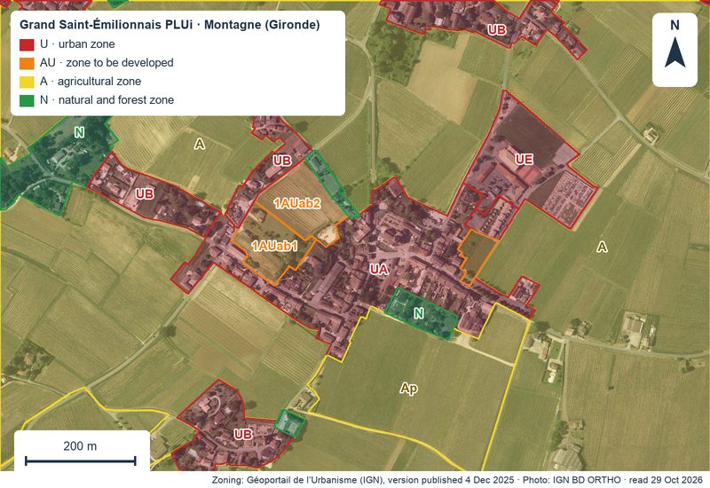
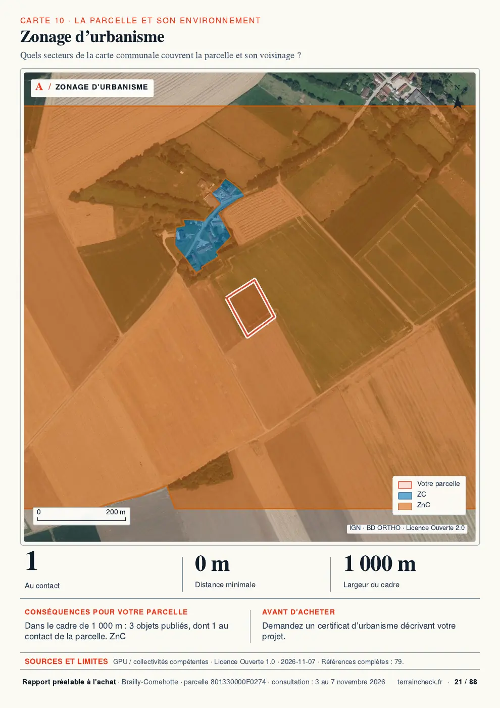
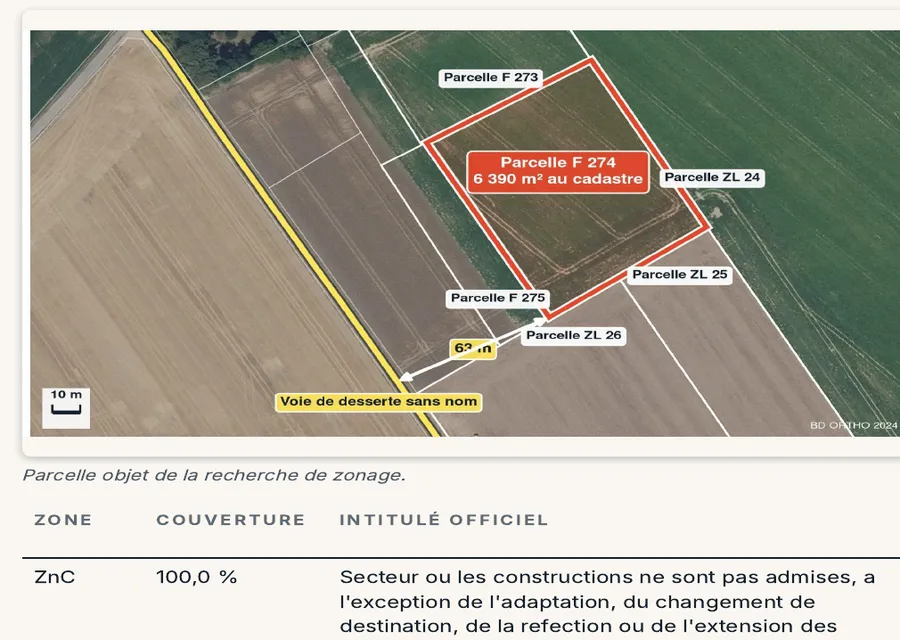
Spot the plot’s constraints before you calculate
Pick the parcel on the map. The report shows the planning document and zone that cover it, the prescriptions published around it, natural hazards and nearby sales, each with its source and date and explained in English. It does not work out your buildable area and does not replace a planning certificate. Free check, PDF report for €29 (€39 in French and English).
