Pillar: Buying building land in France
The Loi Littoral in France: the 100-metre strip, building continuity and coastal plots
In mainland France, in a coastal commune under the Loi Littoral (one on the sea, a salt lagoon or a lake over 1,000 hectares, or listed by decree for an estuary or delta), nothing may be built outside built-up areas within 100 metres of the upper limit of the seashore or the highest-water line of a large lake, save narrow exceptions. First check that the commune is coastal, then read its local plan (PLU) on the Géoportail de l’urbanisme.
In brief
- In a coastal commune in mainland France, the 100 m strip is measured flat from the upper limit of the seashore (the highest-water line for a lake over 1,000 ha). Outside built-up areas, the only buildings allowed are those needed for public services or for businesses that must be right next to the water, after a public inquiry, plus a few technical works.
- Areas close to the shore have no width in the law; the SCoT (the area-wide planning scheme) and the PLU (local plan) draw them. Built-up areas may only grow there to a limited extent.
- Anywhere in the commune (municipality), new building must adjoin an existing town or village. Since the 2018 ELAN law, gaps may be filled in an already built-up sector identified by the SCoT and mapped by the PLU, but not in the 100 m strip or the areas close to the shore, only for housing, accommodation or public services, and without extending the built-up perimeter (art. L121-8, details below).
- Estuaries and overseas: upstream of the sea’s legal limit in an estuary, the strip and the areas close to the shore only apply on the Seine, the Loire and the Gironde. In Guadeloupe, French Guiana, Martinique, Réunion and Mayotte they follow a separate regime (art. L121-38 onwards).
On this page
Which communes are covered
Under article L321-2 of the Environment Code, coastal communes are those in mainland France and the overseas departments that border the sea or ocean, a salt lagoon or an inland lake of more than 1,000 hectares. A commune on an estuary or a delta only counts if it is on the list set by decree: article R321-1 of the same code names 87 of them, from Wimille (Pas-de-Calais) to Vauvert (Gard).
A non-coastal commune may ask to come under the rules (Planning Code, art. L121-1); by June 2021, says the ministry, no such decree had been made. After a merger, the rules only cover the former coastal communes, unless the new council asks for them to apply everywhere.
Apart from rules the law limits to certain areas, such as the strip and the areas close to the shore, these provisions cover the whole commune: a plot three kilometres from the beach is still subject to the continuity rule.
The 100-metre strip
Article L121-16 of the Planning Code bans buildings and installations, outside built-up areas, on a strip of one hundred metres from the upper limit of the seashore, or from the highest-water line for inland lakes over 1,000 hectares. According to the ministry, the distance is measured horizontally, ignoring slope, relief and obstacles.
The upper limit of the shore is the edge of the public maritime domain, fixed by a prefect’s order (arrêté préfectoral) where it has been formally delimited. Otherwise a court works it out from the site, such as the slope of the beach and where vegetation starts. A distance taken from the coastline on a web map is only an approximation.
What can still be built in the strip
Article L121-17 lifts the ban for buildings or installations needed for public services or for businesses that must be right next to the water, and requires a public inquiry for them. The court decisions quoted by the ministry run from a fish farm to beach toilets; a restaurant, a car park or a home does not qualify. Works whose location meets an overriding technical need (art. L121-4) and, exceptionally, some sewage plants (art. L121-5) are also allowed.
Campsites and caravan pitches are banned in the strip (art. L121-18). The PLU may widen the strip beyond one hundred metres where sensitive habitats justify it; in communes exposed to coastal erosion (art. L121-22-1) the PLU or the carte communale must widen it where the 30-year projection of the retreating shoreline justifies it (art. L121-19).
Areas close to the shore
Beyond the strip, article L121-13 allows only a “limited” extension of built-up areas, justified in the PLU on grounds linked to the lie of the land or to businesses that need to be right next to the water. Those justification criteria do not apply where development complies with a SCoT or a regional development scheme, or is compatible with a sea development scheme; the extension must still be limited. With none of these documents, the prefect must agree after hearing the departmental landscape and sites commission (CDNPS).
The law does not say how far these areas reach. The ministry uses three criteria weighed together: distance from the shore, what lies between the plot and the sea (built-up or natural land, a road, a railway, relief) and whether the sea can be seen from the plot or the plot from the sea. Markedly denser building in an existing neighbourhood also counts as an extension. The PLU maps them plot by plot on its zoning map.
Continuity and infill plots
The first paragraph of article L121-8 sets the rule: built-up areas may only extend “in continuity with existing towns and villages”. A few scattered houses are not enough. Case law quoted by the ministry rules out any building, even next to other houses, in an area of scattered housing away from towns and villages.
Since the ELAN law of 23 November 2018 there is a middle route: already built-up sectors (secteurs déjà urbanisés). Building may be allowed there if every condition in the article is met:
- the sector is identified by the SCoT and mapped by the PLU;
- it lies outside the 100 m strip, the areas close to the shore and the lake shores covered by article L121-13;
- the project serves only to improve the supply of housing or accommodation, or to provide public services;
- it does not extend the built-up perimeter or significantly change the character of the existing buildings.
The permit goes to the CDNPS for an opinion and is refused if it harms the environment or the landscape. The ELAN transitional rules, which allowed such permits before the plans were updated, ended on 31 December 2021: without a SCoT that identifies the sector, the infill route is closed (in Corsica, the regional plan, PADDUC, can play that role). As an exception to continuity, buildings needed for farming, forestry or marine farming (cultures marines) may be allowed with the prefect’s agreement, after opinions from the CDNPS and from the departmental farmland commission (CDPENAF), and outside the areas close to the shore except for marine farming. The prefect refuses if they would harm the environment or the landscape, and their use may never be changed afterwards (art. L121-10); according to the ministry, a dwelling for the farmer only qualifies if the activity needs it.
Green breaks and outstanding areas
The SCoT and the PLU must set aside green breaks (coupures d’urbanisation), natural areas that keep built-up zones apart (art. L121-22). Outstanding or characteristic coastal areas are protected (art. L121-23): dunes, coastal heath, beaches, coastal woodland, marshes, wetlands and other habitats listed by decree. Only light facilities from a list set by decree may go there (art. L121-24).
| Area | Where | Rule | Main exceptions | Article |
|---|---|---|---|---|
| 100 m strip | Mainland France, from the upper limit of the shore | Outside built-up areas: no building, no campsites | Public services or businesses that need the water (public inquiry); L121-4; L121-5 | L121-16 to L121-19 |
| Areas close to the shore | Mapped by the SCoT and the PLU; no legal width | Limited extension of built-up areas, justified in the PLU | None to the limit itself; with no SCoT or regional or sea scheme: prefect’s agreement after the CDNPS opinion | L121-13 |
| Whole commune | The entire territory of the coastal commune | Extension only adjoining towns and villages | Infill (L121-8); farm, forestry or marine-farming buildings (L121-10): conditions set out above | L121-8, L121-10 |
| Green breaks | Set by the SCoT and the PLU | Natural land kept between built-up areas | None set out in the article | L121-22 |
| Outstanding areas | Identified in the planning documents | Protected | Light facilities on the list set by decree | L121-23, L121-24 |
The five regimes to find on the PLU of a coastal commune in mainland France. Overseas: articles L121-38 onwards. Sources: Planning Code, art. L121-17 (exceptions in the strip); Planning Code, art. L121-13 (areas close to the shore); Planning Code, art. L121-8 (continuity, already built-up sectors); Planning Code, art. L121-10 (farm, forestry and marine-farming buildings); Planning Code, art. L121-23 (outstanding areas). Accessed 12 November 2026.
Checking before you buy
- Is the commune coastal? Check the Ministry for the Ecological Transition page and, for an estuary, article R321-1 on Légifrance. Free, a few minutes. If the commune has merged, make sure the plot lies in a former coastal commune.
- Read the PLU and the SCoT on the Géoportail de l’urbanisme, the national planning portal: the plot’s zone and any protected or coastal areas. Free, in French. Any PLU or SCoT version approved after 1 January 2023 must be published there to be enforceable. How to read it: reading the PLU before buying.
- Apply for an operational planning certificate (certificat d’urbanisme opérationnel) at the mairie (town hall) or online. Free, 2 months to process. It says whether the project you describe can go ahead. More: the two kinds of planning certificate.
- Close to the 100 m line, ask the mairie whether an order delimiting the public maritime domain exists, then have a géomètre-expert (chartered surveyor) measure the distance, on a quote. Timing depends on the surveyor.
Coastal flooding and erosion are a separate check: see flood risk before buying land. Near a protected site, see land near a Natura 2000 site.
Sources: Géoportail de l’urbanisme: FAQ; Service-Public: planning certificate. Accessed 12 November 2026.
In the report: distance to tidal water
Land in a coastal commune: six checks
- Commune on the list of coastal communes (or a former coastal commune after a merger).
- Distance to the upper limit of the shore known; delimitation order requested if the plot is near the 100 m line.
- Plot outside the areas close to the shore, or a project that fits a limited extension.
- Plot adjoining a town or village, or inside a built-up sector, with a project meeting every condition of article L121-8.
- No green break or outstanding area on the PLU map.
- Operational planning certificate obtained for the project, and a planning-permission condition in the compromis.
For the wider method, see how to check whether land is buildable.
Common questions
Does the 100 m strip apply along a river or a lake?
Along an inland lake of more than 1,000 hectares, yes, from the highest-water line. Along an estuary, upstream of the sea’s legal limit, only on the Seine, the Loire and the Gironde. Along a freshwater river upstream of the sea’s legal limit, no.
Can I extend an existing house inside the 100 m strip?
Outside built-up areas, case law cited by the ministry applies the ban to extensions and changes of use; only consolidation works remain possible. In a built-up area the strip does not apply and the PLU rules decide.
Does a U zone in the PLU guarantee a permit in a coastal commune?
No. The Loi Littoral applies directly to individual permits, except where a regional planning directive exists. An operational planning certificate, free and processed in 2 months, gives a written answer for the project you describe.
What is an infill plot under the Loi Littoral?
An empty plot inside an already built-up sector that the SCoT identifies and the PLU maps, outside the 100 m strip and the areas close to the shore. Housing, accommodation or public services may be built there without extending the built-up perimeter or significantly changing its character, after the CDNPS has given its opinion; the permit is refused if it would harm the environment or the landscape (art. L121-8).
Keep reading
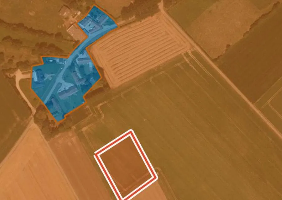
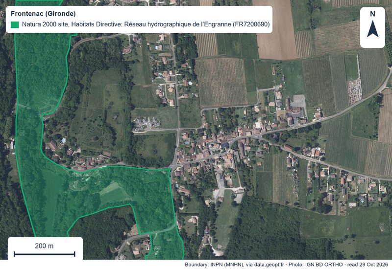
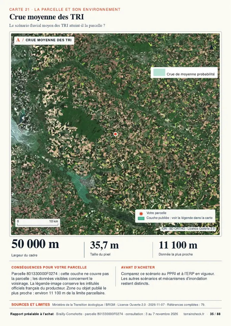
Looking at land near the coast? See what the public records show
Pick the parcel on the map. The report sets out the PLU zone, the distance to tidal water, natural hazards, Natura 2000 and recent sales nearby, each with its source and date, explained in English. It does not replace a planning certificate or the town hall’s answer. Free check, PDF report for €29 (€39 in French and English).
