Pillar: Buying building land in France
Wetlands on a plot in France: thresholds, declaration and penalties before you buy
In France, filling, draining, sealing or flooding a wetland (zone humide) needs a declaration to the prefect of the département if the area affected is over 0.1 ha but under 1 ha, and an environmental authorisation from 1 ha; the PLU (local land-use plan) can also show bans set by a SAGE (local water plan). Before buying, look the parcel up in the wetland inventories and on the PLU zoning map.
In brief
- Under French law, land is a wetland (zone humide) if it is, farmed or not, usually flooded or waterlogged, or if its vegetation, where there is any, is dominated by water-loving plants for part of the year. Either test is enough.
- Wetland inventory maps have no legal force: a plot missing from them can still be a wetland. For water law, the boundary follows the order of 24 June 2008 (soils, vegetation), which applies in mainland France and Corsica; overseas, ask the prefecture which method applies.
- The thresholds (over 0.1 ha and under 1 ha: declaration; 1 ha or more: environmental authorisation) apply to the area of wetland affected, not the size of the plot.
- Works without a declaration receipt or before the objection period ends: a fine of up to €1,500. Without a required authorisation: up to 1 year in prison and €75,000.
On this page
What makes land a wetland
The legal definition is in article L211-1 of the Environment Code. It does not depend on PLU zoning or on use: a cultivated field or a meadow can be a wetland.
Article R211-108 sets the criteria: soil features caused by water staying in the ground for long periods, and possibly hygrophilous plants (plants that thrive in wet ground), defined by regional lists. Where there is no such vegetation, the soil alone is enough to identify a wetland. These criteria do not apply to rivers, ponds and canals, or to facilities built to treat wastewater or stormwater.
For water law purposes, the order of 24 June 2008 sets the method: an area is a wetland if it meets one of the criteria, a soil type on the annexed list or characteristic vegetation (listed species or habitats). The boundary is drawn as close as possible to the survey points that meet them.
Sources: Légifrance: Environment Code, art. L211-1 (version in force); Légifrance: Environment Code, art. R211-108 (version in force); Légifrance: order of 24 June 2008 (criteria for identifying and mapping wetlands); Ministry for the Ecological Transition: protecting wetlands (updated 2 September 2026). Accessed 12 November 2026.
Inventories, PLU and SAGE: where to look before you buy
There is no complete national inventory. According to SDES, the statistics service of the environment ministry, wetlands are located precisely on only about 60% of mainland France.
| Where to look | What you find | Legal weight |
|---|---|---|
| RPDZH viewer (sig.reseau-zones-humides.org) | Local inventories, search by address or parcel | For information only, “in no way a regulatory tool” |
| PLU zoning map | Wetland areas mapped by the SAGE, if the PLU applies the December 2024 rule | Bans on filling, draining, flooding |
| SAGE rules (Gest’eau) | Rules specific to wetlands in the river basin | Binding on works under water law |
| Soil and vegetation survey | Boundary drawn under the 2008 order (mainland France and Corsica) | The method set for heading 3.3.1.0 |
Maps flag a risk; a field survey draws the boundary. Sources: Wetland data partnership network (RPDZH): inventory map viewer; Légifrance: Planning Code, art. R151-31 (version in force); Légifrance: Environment Code, art. L212-5-2 (version in force); Gest’eau: find the SAGE covering a commune; Légifrance: order of 24 June 2008 (criteria for identifying and mapping wetlands). Accessed 12 November 2026.
The map viewer of the wetland data network (RPDZH) covers France except the area of the Rhône-Méditerranée-Corse water agency and carries its own warning: no result does not necessarily mean no wetland. The site is in French.
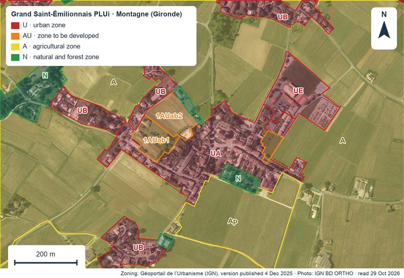
The PLU carries more weight. In zones U, AU, A and N, its maps show, where relevant, wetland areas where draining, sealing, flooding or filling is banned, once the SAGE has mapped them precisely, so land zoned for building can carry such an overlay.
This rule, introduced by the decree of 2 December 2024, does not apply to a PLU whose drafting or revision was launched before the decree was published on 4 December 2024, unless the commune or inter-communal authority chose to apply it before adopting the draft plan. On an older PLU, a missing overlay rules out neither a wetland nor the SAGE rules, which bind anyone doing works under water law. How to read the zoning: reading the PLU before buying.
Filling, draining, flooding: the water law thresholds
Heading 3.3.1.0 of the list annexed to article R214-1 covers draining, flooding, sealing and filling of wetlands or marshes. The regime depends on the area drained or flooded: an authorisation from 1 ha, a declaration above 0.1 ha and below 1 ha. One hectare is 10,000 m², so 0.1 ha is 1,000 m².
Up to and including 0.1 ha, heading 3.3.1.0 does not apply; still check the PLU, the SAGE rules and those of a Natura 2000 site or a flood zone.
Declaration or authorisation: steps and timescales
- Check the inventories on the RPDZH viewer, by address or parcel. Free. About 15 minutes (TerrainCheck estimate).
- Read the PLU zoning map and rules at the mairie (town hall) or online, then find on Gest’eau the SAGE covering the commune and its rules. Free. About half an hour (TerrainCheck estimate).
- Have the wetland mapped by an environmental consultancy applying the 2008 order (soil and vegetation surveys); overseas, using the method the prefecture indicates. Priced on quotation, depending on the area and the number of survey points. Duration: no time limit is set by the texts cited.
- If the project affects more than 0.1 ha but less than 1 ha of wetland, file a declaration with the prefect of the département. From 1 ha a declaration is not enough: you need an environmental authorisation, a heavier procedure outside the scope of this guide. Cost: that of preparing the file, on quotation. Within 15 days of receipt the prefect issues a receipt, or an acknowledgement listing missing documents, to be supplied within the time he sets, 3 months at most.
- Wait for the objection period to end: 2 months from receipt of a complete declaration. The prefect may notify earlier that he will not object. Works cannot start before then. The period is interrupted, or a new one starts, in the cases set by articles R214-35 and R214-35-1:
- Irregular file: put it right within the time limit the prefect sets (3 months at most), or the operation is deemed objected to. Once the complete file is received, the prefect issues a new receipt (récépissé) stating the date from which works may start.
- Specific conditions envisaged (prescriptions particulières): the prefect invites your comments; a new 2-month period runs from the prefect’s receipt of your reply or, without a reply, from the end of the time allowed.
- Case-by-case environmental screening ordered within 15 days of the complete declaration: a new 2-month period runs from the prefect’s receipt of a decision that no assessment is needed; if an assessment is required, the prefect formally objects to the declaration.
- Request to change the applicable conditions (prescriptions applicables), made during the objection period where the orders issued under article R211-3 allow it: a new 2-month period runs from the prefect’s acknowledgement of receipt of your request.
The prefect can object if the project is incompatible with the SDAGE (the basin-wide water plan) or the SAGE, or if it harms the interests protected by water law so seriously that no conditions could put it right. The town hall receives a copy of the declaration and the receipt, and posts the receipt for at least one month, together with any specific conditions imposed and any decision to object or not to object.
Offsetting: avoid first
Where offsetting is required, article L163-1 states that it cannot replace avoiding and reducing the harm. If the harm can be neither avoided, nor reduced, nor satisfactorily offset, the project is not authorised as it stands. Since the law of 18 August 2026, conditions imposed on projects affecting a wetland, offsetting included, are proportionate to that wetland’s functions. The cost depends on the measures required: ask for a quotation.
Sources: Légifrance: Environment Code, art. R214-32 to R214-40 (operations requiring a declaration); Légifrance: Environment Code, art. R214-35-1 (version in force); Légifrance: Environment Code, art. L214-3 (version in force); Légifrance: Environment Code, art. L163-1 (version in force); Légifrance: Environment Code, art. L214-7-1 (version in force). Accessed 12 November 2026.
Filling without a declaration: what the law provides
| Situation | Article | Maximum penalty |
|---|---|---|
| Works without a declaration receipt, or before the objection period ends | R216-12, 1° | Fifth-class fine: €1,500 (€3,000 for a repeat offence where the rules provide) |
| Works without the required authorisation | L173-1, I | 1 year in prison and €75,000 |
| Works despite an objection or a formal notice | L173-1, II | 2 years in prison and €100,000 |
| Situation not regularised (administrative measure) | L171-7 | Fine up to €45,000, daily penalty up to €4,500 |
Criminal penalties and administrative measures can apply together. Sources: Légifrance: Environment Code, art. R216-12 (version in force); Légifrance: Criminal Code, art. 131-13 (version in force); Légifrance: Environment Code, art. L173-1 (version in force); Légifrance: Environment Code, art. L171-7 (version in force). Accessed 12 November 2026.
Separately from any prosecution, the authorities order the person concerned to regularise within one year at most. If the notice is ignored, the application refused or the declaration objected to, they order the works to stop for good and the site to be restored to a state that does not harm the protected interests.
If the plot shows recent fill, note that article L171-7 refers to “the person concerned” without saying who must regularise after a sale: ask the notaire (the public official who handles the sale) to look into it before the compromis de vente, the binding preliminary contract.
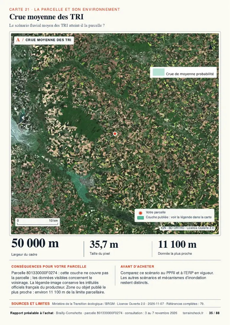
In the report: water around parcel F 274
Before the compromis: six wetland checks
- Plot searched on the RPDZH viewer, result printed with the date.
- PLU zoning map read: no wetland area on the part to be built, or its rules noted.
- The commune’s SAGE found on Gest’eau, wetland rules read.
- House, driveway and fill drawn on the plan, affected area estimated.
- If in doubt: a quotation for a wetland survey before you commit.
- Recent fill visible: date, area and receipt requested from the seller in writing.
Next: check whether the land is buildable and go through the checks before the compromis.
Common questions
Can I build a house on land that is a wetland?
It depends on the area of wetland affected and on local rules. Over 0.1 ha and under 1 ha drained, sealed or filled: a declaration to the prefect, who may object within 2 months of receiving the complete file, unless the period is interrupted or restarted in the cases set by articles R214-35 and R214-35-1 (see the procedure). 1 ha or more: an environmental authorisation instead of a declaration. Also check the PLU, which can show bans on filling set by the SAGE, and the SAGE rules.
Can land zoned U (urban) in the PLU be a wetland?
Yes. The legal definition does not depend on zoning. For a PLU whose drafting or revision was launched on or after 4 December 2024, or that applies it by choice, the Planning Code requires wetland areas subject to bans, once the SAGE has mapped them precisely, to appear on the maps of zones U, AU, A and N. On an older PLU, a missing overlay proves nothing.
The plot is on no wetland map: is that enough?
No. The inventory viewer itself warns that no result does not necessarily mean no wetland. For water law, what counts is a survey: under the order of 24 June 2008 (soils and vegetation) in mainland France and Corsica, using the method the prefecture indicates overseas.
Keep reading
Before you sign, see the water around the parcel
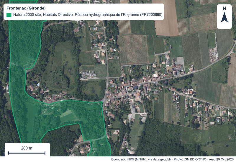
Pick the parcel on the map. The report locates the published water bodies around it, then sets out the PLU zone, natural hazards, Natura 2000 and recent sales nearby, each with its source and date and explained in English. It does not map wetlands. Free check, PDF report for €29 (€39 in French and English).
