Pillar: Buying building land in France
Certificate of alignment in France: will part of your plot go to the public road?
In France, part of a plot only passes to the public road through alignment if an alignment plan, adopted after a public inquiry, puts it beyond the new line; without a plan, the so-called certificat d’alignement simply records the existing edge. To find out, apply free of charge for an individual alignment order from the road authority: the mairie (town hall) for a communal road.
In brief
- What is commonly called a certificat d’alignement is, in law, an individual alignment (alignement individuel): a formal order stating where the public road ends. Asking for it is free, and it cannot be refused to an owner who applies.
- It is issued by the mayor for a communal road, the president of the département council (the county-level authority) for a departmental road and the prefect, the State’s representative, for a national road.
- Through alignment, only a published alignment plan (plan d’alignement) can move the road boundary into a plot. Vacant land inside the new line then passes by law to the authority that owns the road, against compensation.
- A building caught by the line may receive no strengthening works unless it is a listed historic monument. The ground under it passes to the authority when it is demolished.
On this page
Individual alignment and alignment plan
French road law (the code de la voirie routière) defines alignment as the authorities’ decision on where the public road ends and each adjoining property begins. An alignment plan can move that line and transfer a strip of your land to the public body that owns the road; an individual alignment order only records the existing edge, or applies the plan where there is one.
An alignment plan, with a plan of the affected parcels attached, is drawn up after a public inquiry opened by the local authority or group of communes that owns the road; for communal roads, the municipal council is in charge. It can draw a new line, typically to widen a street. An individual alignment is the order issued to one owner. Where a plan exists, the order follows it. Where none exists, it simply records where the road currently ends along that plot.
| Alignment plan | Individual alignment | |
|---|---|---|
| Who sets it | The road’s owner, after a public inquiry | The mayor, the département council president or the prefect, depending on the road |
| What it does | Fixes the line between the road and the adjoining plots | Follows the plan; without one, records the existing edge |
| Effect on the plot | Can transfer a strip to the authority | No transfer when there is no plan |
| Where to find it | Annexes to the PLU, the local land-use plan (public-interest easements) | Order sent to the applicant |
The two forms of alignment. Easements linked to the alignment of public roads appear on the national list of public-interest easements that are annexed to the PLU. Sources: Road Code (code de la voirie routière), art. L112-1; Road Code, art. L112-3; Planning Code, annex: list of public-interest easements. Accessed 12 November 2026.
Who issues it and where to write
What matters is the category of the road, not the commune (municipality) the plot lies in. A road running through a village may be departmental: the letter then goes to the département, and inside a built-up area the mayor must be consulted.
| Road | Authority (code) | Where to send (Service-Public) |
|---|---|---|
| Communal road (voie communale) | The mayor | The mairie (town hall) |
| Intercommunal road | Not named in article L112-3 | The mairie or the group of communes (intercommunalité) |
| Departmental road | President of the département council | The département’s road services |
| National road | The prefect | Interdepartmental roads directorate (DIR); in Île-de-France, the DRIEAT |
| Rural lane (chemin rural) | No alignment: not public domain | Parcel plan attached to the council decision, or a boundary survey |
Authority named in article L112-3 and address given by Service-Public, the government information site (page checked on 11 April 2025). Sources: Road Code, art. L112-3; Service-Public: how to obtain an individual alignment order. Accessed 12 November 2026.
Communal roads make up most of the network: 902,972 km out of 1,310,184 km of roads in 2024, about 69%. That figure counts kilometres of road, not plots: the category of the road along your plot tells you where to apply.
When an alignment plan takes a strip of the plot
Publication of an alignment plan transfers by law to the authority that owns the road the ground of vacant properties inside the line it draws. For a property built on when the plan is published, the ground only passes when the building is demolished. In both cases, failing agreement, compensation is set and paid under the rules of compulsory purchase.
Meanwhile the building is said to be frappé d’alignement: no strengthening works may be carried out on it, unless it is a listed historic monument. The regulations call this a setback easement (servitude de reculement). No new building may overhang the line at any height, subject to the rules on projections, whose maximum sizes are set by the road regulations.
The transfer of vacant land and the limits placed on built land are registered in the land registry (publicité foncière). For a buyer, this means a strip along the street may already belong to the council even if the seller’s fence still encloses it. Ask the notaire, the public official who handles the sale, to check.
A worked example
Fictional example: a 600 m² plot has 20 m of road frontage, and the plan puts the line 2 m back from the fence. The strip is 20 × 2 = 40 m², leaving 560 m². If the zone’s rules require, say, a 5 m setback measured from the alignment line, the house cannot come closer than 7 m to the current fence (2 + 5), unless those rules allow an exception.
Sources: Road Code, art. R*112-1; Road Code, art. R*112-2; Planning Code, art. R151-39. Accessed 12 November 2026.
Applying for an individual alignment order
- Find out whether an alignment plan exists. Look at the annexes of the PLU (or of the carte communale, the simpler local map some villages use) at the town hall, or apply for an information planning certificate (certificat d’urbanisme d’information): it lists the administrative limits on ownership, including public-interest easements. Cost: free. Time: 1 month from the acknowledgement of receipt, according to Service-Public. See planning certificates.
- Write a plain letter, in French: your name and address, a description of the planned works, the address of the property. A cadastral map with the parcel circled avoids mix-ups. Time: about half an hour (TerrainCheck estimate).
- Send it to the road authority shown in the table above. Registered post with proof of delivery gives you a certain date. Cost: the application is free; you only pay the postage.
- Receive the order. An individual alignment cannot be refused. The texts cited set no deadline for the answer. If none comes, Service-Public says you can appeal to the administrative court.
A géomètre-expert (chartered surveyor) is not required to draw up the order. Nor does alignment replace planning consent: a fence or an extension may still need a prior declaration or a building permit.
Alignment, boundary survey and setback: three different lines
A boundary survey (bornage) fixes the line with a private neighbour. Against land in the public domain, specific procedures replace it, such as individual alignment along a public road. Service-Public puts it more briefly (no bornage “if your land borders public land”), but land owned by a commune can belong to its private domain, as rural lanes do (art. L2212-1 of the General Code of Public Property). Along a rural lane, the line is shown on the parcel plan attached to the council’s decision, or fixed by a boundary survey with the costs shared.
Setbacks belong to the PLU. Its rules may be expressed in relation to roads and public land. In your zone, read the article on siting in relation to roads: if it sets a setback, it says whether the distance runs from the alignment line, from the current edge or from the centre of the road. How to read it: reading the PLU before buying.
A street number is a separate application with no effect on the line: the certificate of numbering.
Sources: Service-Public: boundary surveys; Service-Public: how to obtain an individual alignment order; General Code of Public Property, art. L2212-1 (rural lanes, private domain); Planning Code, art. R151-39. Accessed 12 November 2026.
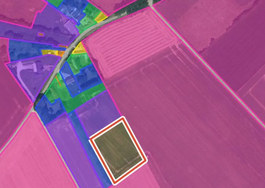
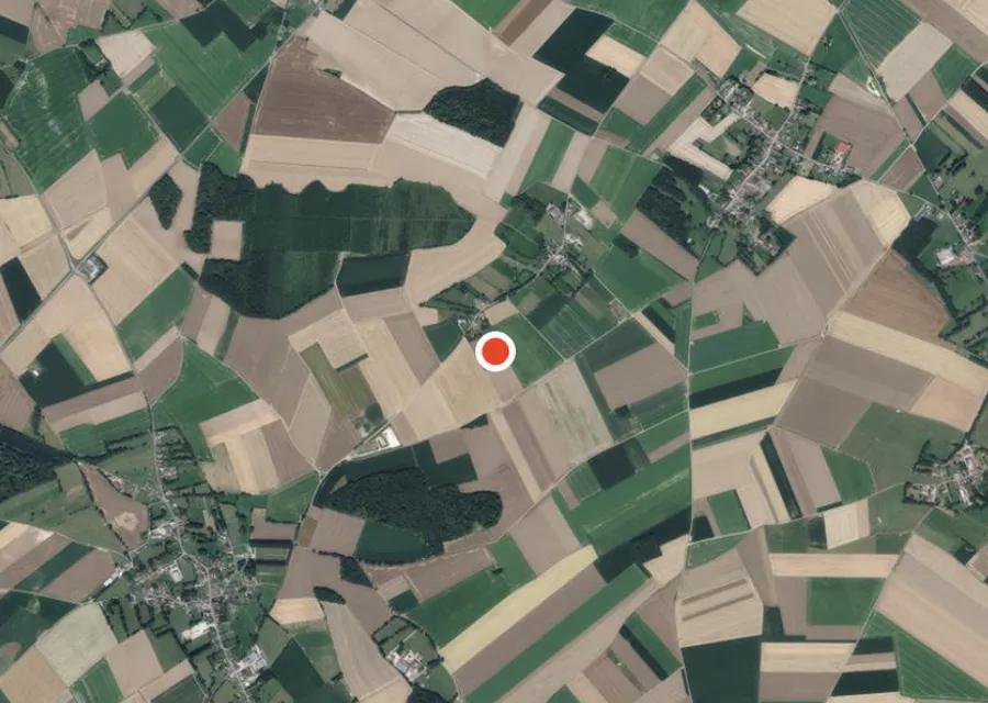
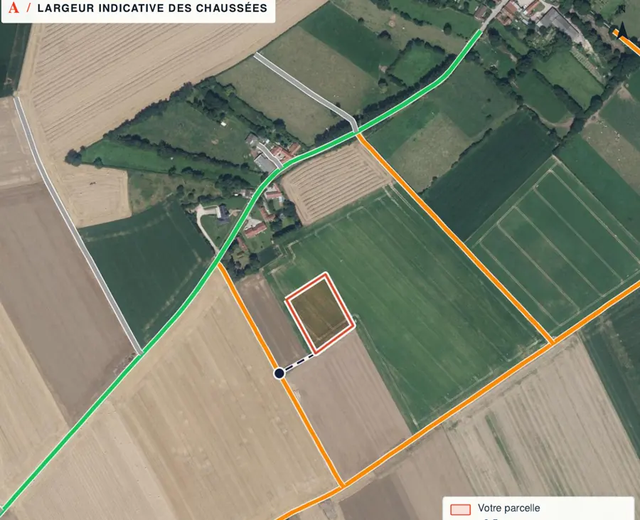
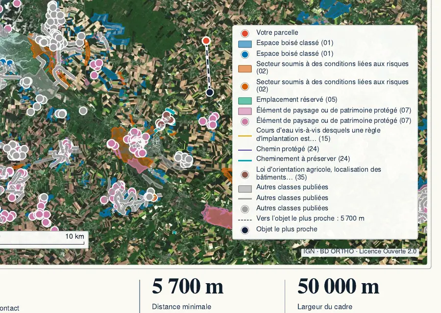
In the report: roads around parcel F 274
Before the compromis: six alignment checks
- Category of the road along the plot: communal, departmental, national or rural lane.
- Alignment plan: present or not in the annexes of the PLU.
- If there is one: depth of the strip along the frontage and remaining area worked out.
- Individual alignment order requested, received and passed to the notaire.
- Seller’s fence compared with the line in the order.
- PLU setback rule read, with the line it is measured from.
Next: check the utilities and go through the checks before the compromis, the binding preliminary contract.
Common questions
Do I have to pay for a certificat d’alignement?
No. According to Service-Public, applying for an individual alignment order is free, and a chartered surveyor is not required. You only pay the postage.
How long does it take?
The texts cited set no deadline. Because an individual alignment cannot be refused, Service-Public says a failure to answer can be challenged before the administrative court.
Can the town hall take part of my land through alignment?
Not with an individual order where no plan exists: it only records the current edge of the road. Through alignment, that takes an alignment plan adopted after a public inquiry. Its publication passes vacant ground to the authority, and built ground once the building is demolished, with compensation agreed or else set as in compulsory purchase.
Keep reading
Land boundary survey (bornage) in France: when it is required, how the price is set and who pays
Certificat de numérotage: how a plot in France gets an official address, and how to check it
Serviced or unserviced plot in France: what “viabilisé” promises and how to check it
Reserved site (emplacement réservé) on a plot in France: what it blocks and how to make the council buy
See where the plot sits in relation to the roads before you apply
Pick the parcel on the map. The report gives its outline, its cadastral area and the distance to the roads mapped by IGN, each with its source and date, explained in English. It does not say whether a road is communal or whether an alignment plan exists, and it does not replace an alignment order. Free check, PDF report for €29 (€39 in French and English).
