Pillar: Buying building land in France
Coastal land in France: sea flooding, erosion and shoreline retreat zones
On the French coast, two hazards are checked separately: coastal flooding (submersion marine) in the coastal risk prevention plan (PPRL) and on Géorisques, the state risk portal; shoreline retreat (recul du trait de côte, erosion), whose planning rules apply only in the 371 communes listed by decree. For a plot: Géorisques, then the town hall, which says whether retreat zones are mapped.
In brief
- 371 communes (municipalities) are on the list in Decree 2022-750 (version of 13 February 2026), 72 of them in Finistère and 50 overseas. The list is reviewed at least every nine years.
- 30-year zone: in built-up areas, with no added housing capacity, only repair and adaptation of existing buildings, their removable extensions and removable structures needed for a public service, or for a business that must be right by the water; outside built-up areas or in scattered development, only those structures, away from outstanding natural sites. The commune holds a pre-emption right (first refusal on any sale) over the whole zone.
- 30-to-100-year zone: unless it is built under a coastal-erosion adaptation lease (bail réel d’adaptation, art. L121-22-5, VIII), a building or extension put up after the PLU (local plan) came into force carries two obligations. It will be demolished at the owner’s expense once safety can no longer be ensured beyond three years; and where the project needs a permit or prior declaration, the authorisation sets a sum to be deposited with the Caisse des dépôts (the public deposit bank) before work starts.
- Coastal flooding is a separate hazard, covered by the coastal risk prevention plan (PPRL) where one exists; in 2023, 417 communes had a PPRL or a multi-hazard plan covering coastal flooding, according to Géorisques, the state risk portal.
- Selling in a pre-emption zone: the seller notifies the commune; two months of silence from receipt of the notice count as a waiver, and a request for documents suspends the period (art. L219-6).
On this page
Coastal flooding and shoreline retreat are different hazards
Coastal flooding (submersion marine) is the sea temporarily flooding the coast, for a few hours up to a few days. It mostly comes with a storm at high tide, or when a dyke or dune ridge breaks.
Shoreline retreat (recul du trait de côte) is land lost for good to erosion. The national coastal erosion indicator, published by Cerema (the state’s technical agency) and updated in 2026, finds that about 20% of natural coastline retreated between the 1950s and 2020.
Which communes are covered
Article L321-15 of the Environment Code provides for a list, set by decree, of communes whose planning must adapt to coastal erosion, based on how vulnerable they are to retreat. The ministry stresses that they volunteered. The first decree dates from 29 April 2022, the current list from 13 February 2026, and a commune can ask to join at any time.
A commune covered by the Loi Littoral is therefore not necessarily on the list. If, when the list came into force, the commune was already covered by an ordered or approved PPRL dealing with retreat, the retreat map is optional (art. L121-22-1): read the PPRL first.
The 30-year and 30-to-100-year zones
In listed communes, the zoning map of the PLU marks land exposed to retreat within thirty years and land exposed between thirty and one hundred years (art. L121-22-2). A carte communale, a simpler planning map some communes use instead of a PLU, does the same (art. L121-22-6 and L121-22-7).
These zones are not in force everywhere yet. A commune has one year after the list is published to start amending its PLU. If the new PLU is not in force three years after that amendment procedure was started, and no approved PPRL deals with retreat, the council adopts an interim map (carte de préfiguration) valid until the new PLU, and may then defer decisions on permits (art. L121-22-3).
What can still be built
In the 30-year zone, article L121-22-4 distinguishes two cases. In built-up areas, with no added housing capacity, the only things that may be allowed are repair and adaptation of buildings that existed when the PLU came into force, their removable extensions, and new removable structures needed either for public services or for businesses that must be right next to the water. Outside built-up areas and in areas of scattered development, only the latter may be allowed, away from outstanding natural sites (art. L121-23), and the coastal strip is widened to the undeveloped part of the zone where the projection justifies it (art. L121-19).
In the 30-to-100-year zone the code sets no general ban: the PLU rules apply. But any new building or extension put up after the PLU came into force will have to be demolished, and the land restored, at the owner’s expense, once people’s safety can no longer be ensured beyond three years (art. L121-22-5). A new building or extension put up under an adaptation lease concluded under article L321-18 of the Environment Code escapes both this demolition and the deposit (VIII). According to the ministry, some PPRLs make the 100-year zone unbuildable.
| Zone | New build | Existing | Pre-emption | Article |
|---|---|---|---|---|
| 0–30 years, built-up area (no added housing capacity) | Only removable buildings or installations needed either for public services or for businesses that must be right next to the water | Repair and adaptation of what existed when the PLU came into force; removable extensions | Yes, automatically | L121-22-4 I |
| 0–30 years, not built-up or scattered development | Only removable buildings or installations needed either for public services or for businesses that must be right next to the water, outside outstanding areas (L121-23) | No other authorisation provided for in L121-22-4 II | Yes, automatically | L121-22-4 II, L121-19 |
| 30–100 years | As the PLU allows. Unless built under an adaptation lease concluded under L321-18 Env. Code (L121-22-5 VIII): future demolition and, where a permit or declaration is needed, a deposit | Extension: same rules, same exception | If the council decides | L121-22-5, L219-1 |
| Outside the zones | PLU and PPRL rules | PLU and PPRL rules | No (not this right) | PLU, PPRL |
30-to-100-year zone: an adaptation lease rules out both the demolition and the deposit (L121-22-5 VIII). Sources: Planning Code, art. L121-22-4 (30-year zone); Planning Code, art. L121-22-5 (30-to-100-year zone: demolition, deposit); Planning Code, art. L121-19 (widening the coastal strip); Planning Code, art. L219-1 (pre-emption right for coastal retreat). Accessed 14 November 2026.
The deposit and the demolition
Except under an adaptation lease, where the project needs a permit or a prior declaration, the authorisation sets a sum matching the expected cost of demolition and site restoration, using a formula fixed by ministerial order (Decree 2026-275 of 15 April 2026). It is deposited with the Caisse des dépôts, with the receipt sent to the mayor, before work begins. For these projects, no answer within the processing time means refusal, not tacit approval.
When the time comes, the mayor orders demolition, giving at least six months, then serves formal notice (at least one month); if nothing happens, the mayor has the work done at the owner’s cost. The deposit is paid back in tranches, 33% of it when the demolition site opens.
The commune’s pre-emption right
In listed communes, a pre-emption right specific to coastal retreat covers the whole 30-year zone. The commune, or the group of communes in charge of the PLU, may extend it by a council vote to all or part of the 30-to-100-year zone (art. L219-1).
A seller must send the commune a notice of sale with the price and terms, or the sale is void. If the commune stays silent for two months from receiving the notice, it has waived its right. Within that time it may send a single request for documents: the clock stops until they arrive, then restarts, with at least one month left to decide (art. L219-6). Without agreement, the expropriation judge sets the price, taking the exposure to retreat into account (art. L219-7).
Coastal flooding: PPRL, TRI and Géorisques
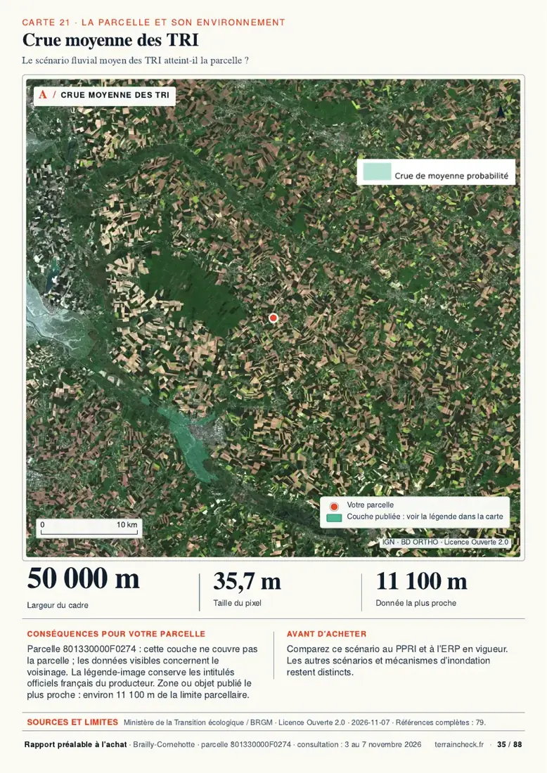
The PPRL is a natural hazard prevention plan whose regulatory maps, at 1:10,000 or 1:5,000, can be read plot by plot. According to Géorisques, in 2023, 417 communes (374 in mainland France, 43 overseas) had one, or a multi-hazard plan covering coastal flooding: close to 26% of the communes inside the coastal flood envelope. 82 more had ordered one.
Maps of the high flood-risk areas (TRI) are not legal restrictions on land use, and the approximate envelopes of potential flooding (EAIP) are, in Géorisques’ words, informative and imprecise.
A mapped retreat zone must appear in the seller’s risk statement (état des risques, art. R125-23, 7° of the Environment Code). For the rest of a Géorisques report, see how to read a Géorisques report; for river flooding and the PPRI, see flood risk before buying land.
Checking before you buy
- Look the commune up on the list: the annex of Decree 2022-750 on Légifrance, or the GéoLittoral map. Free; about ten minutes (TerrainCheck estimate).
- Read the zone on the PLU through the Géoportail de l’urbanisme, the national planning portal (in French): 30-year zone, 30-to-100-year zone, or nothing yet. If the plan is being revised, ask the mairie (town hall) whether an interim map has been adopted. Free.
- Open the PPRL and the maps on Géorisques: approved or ordered PPRL, TRI, EAIP. Free; 15 to 30 minutes (TerrainCheck estimate).
- Read the risk statement and the compromis (preliminary sale agreement) from the seller: retreat zone, time horizon, demolition obligation.
The Loi Littoral adds other rules near the shore, including the 100 m strip: see the Loi Littoral.
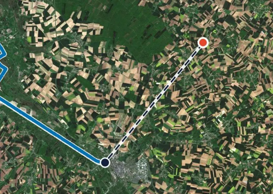
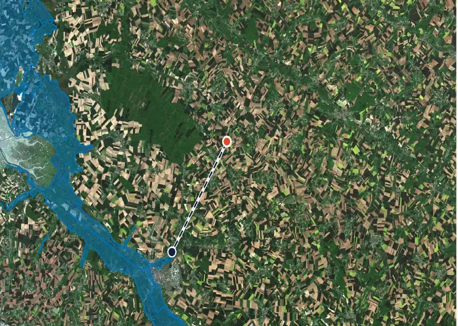
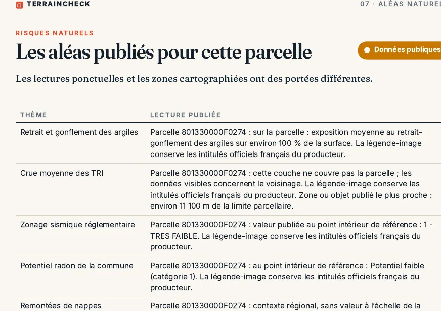
In the report: the coastal flood envelope
Land on the coast: six checks
- Commune on the list in Decree 2022-750, or not.
- The plot’s zone on the PLU or interim map: 0–30 years, 30–100 years or outside.
- In the 30-to-100-year zone, except a building or extension under an adaptation lease (L321-18 Env. Code): deposit and demolition obligation written into the permit and the compromis.
- Pre-emption right checked and the notice to the commune built into the timetable.
- PPRL approved or ordered, and the plot’s regulatory zone.
- Risk statement with the shoreline retreat section filled in.
Common questions
Can I build a house in the 30-to-100-year zone?
The code does not forbid it, if the PLU and any PPRL allow it. But, except under a coastal-erosion adaptation lease, two obligations apply: the house will have to be demolished at the owner’s expense once safety can no longer be ensured beyond three years, and the permit requires the expected demolition cost to be deposited with the Caisse des dépôts before work starts.
Can the commune buy the plot instead of me?
Yes, if the plot is in the 30-year zone, or in the 30-to-100-year zone where the council has extended its pre-emption right. It has two months from receiving the seller’s notice to decide, suspended if it asks for documents; if the price cannot be agreed, the expropriation judge sets it, taking the exposure into account.
The commune is not on the list: is the plot free of coastal risk?
No. The list only triggers the planning rules on shoreline retreat. Coastal flooding is checked in the PPRL and on Géorisques, and a commune can ask to join the list at any time.
Keep reading
The Loi Littoral in France: the 100-metre strip, building continuity and coastal plots
Flood risk when buying land in France: Géorisques, PPRI and the risk statement
France’s risk statement (ERP) for land: what the seller must give you, the six-month rule and what it leaves out
Géorisques: how to read the hazard report for a French plot and what it leaves out
Looking at land near the sea? See what the public maps show
Pick the parcel on the map. The report places it against the coastal flood envelope, river flood scenarios, known prevention plans, the PLU zone and the distance to tidal water, each with its source and date, explained in English. It does not replace the commune’s PLU or the seller’s risk statement. Free check, PDF report for €29 (€39 in French and English).
