Pillar: Buying building land in France
The Loi Montagne in France: building in mountain municipalities
In France, a new house must in principle adjoin an existing town, village, hamlet or group of buildings (article L122-5 of the Planning Code, amended on 18 August 2026) in municipalities classified as mountain zone under the Loi Montagne (mountain law): 5,508 in mainland France according to the 2026 Observatoire des territoires file, plus some on Réunion, Martinique and Guadeloupe. First step: check the municipality’s classification, then the plot’s zone in the PLU (local plan).
In brief
- The Loi Montagne covers a list of communes (municipalities), or parts of them, fixed by interministerial order. In mainland France the height of your plot does not tell you: only the classification counts.
- Since an Act of 18 August 2026, article L122-5 refers to existing groups of buildings, not only groups of traditional buildings or houses. That is not a right to build: continuity is judged under L122-5-1, and the PLU or carte communale applies on top.
- Away from existing buildings you need an exception in the code, such as an area opened by the PLU (local plan) or carte communale (simple municipal map), a reasoned council decision where there is neither (L122-7 III), or limited work on an existing building.
- Along a lake under 1,000 hectares, the natural shores are protected for 300 metres (L122-12), unless the code’s exclusions or derogations apply.
- An operational planning certificate (certificat d’urbanisme opérationnel) is free, a prospective buyer may apply, and the mairie (town hall) has 2 months from receipt of the application to answer.
On this page
Which municipalities are covered
The mountain chapter of the Planning Code (articles L122-1 onwards) applies in the mountain zones defined by article 3 of the Act of 9 January 1985. In mainland France these are municipalities or parts of municipalities where land use is heavily limited and building costs more, because of altitude and climate, steep slopes, or both together. Each zone is fixed by an interministerial order and attached to one of six massifs: the Alps, Corsica, the Massif central, the Jura, the Pyrenees and the Vosges.
In the overseas départements the Act sets altitudes: above 500 metres on Réunion and above 350 metres on Guadeloupe and Martinique; between 100 metres and those levels, municipalities may also be classified where most of their area has slopes of at least 15%. When municipalities merge, the classification stays with the parts that were classified before.
The quickest check is the municipality file of the Observatoire des territoires, run by the national agency for territorial cohesion (ANCT). It covers only municipalities subject to the planning rules of the Loi Montagne and marks each one “in” or “out”. The Act also speaks of parts of municipalities: if the municipality is only partly classified, or has merged, ask the town hall which side your parcel is on. Do not mix this up with the mountain “less-favoured area” map used for farm subsidies.
The core rule: build next to what is already there
Article L122-5, in the wording in force since 20 August 2026, says that development takes place in continuity with existing towns, villages, hamlets or groups of buildings. The same article allows the adaptation, change of use, repair, limited extension or limited raising of existing buildings, small annexes to them, and public facilities that cannot sit next to housing.
The code sets no distance in metres. Under article L122-5-1, continuity is judged on the local pattern of traditional settlement, the buildings already there, roads and networks, and physical breaks such as a mountain stream, a road or a ravine. A field right next to a hamlet can therefore be cut off by a ravine, while one further away carries on a row of houses served by the same lane.
This wording comes from Act 2026-797 of 18 August 2026, which removed the words “traditional or residential” and added limited raising. Articles L122-6 and L122-7 III keep the old wording, as do fact sheets and court decisions written earlier, so check their date.
Away from existing buildings: the exceptions
An isolated field is not ruled out automatically, but it only becomes buildable through one of the routes in the code. Almost all of them go through a planning document or a decision of the municipality, not through the owner’s application.
| Situation | What the code provides | Article |
|---|---|---|
| SCoT (inter-municipal strategic plan) or PLU with a study | A study, reviewed by the departmental commission for nature, landscapes and sites, justifies development away from existing buildings; the PLU or carte communale then draws the development zones. | L122-7 I |
| PLU or carte communale, no study | May create new hamlets or groups of houses that blend into the setting; exceptionally, small future development zones with the consent of the chamber of agriculture and that commission. | L122-7 I |
| No PLU and no carte communale | Building possible after a reasoned decision of the municipal council, if the municipality is under no land pressure from population growth or second homes, and under the conditions of L111-4 (4°) and L111-5. | L122-7 III, L111-4 |
| Existing building | Adaptation, change of use, repair, limited extension or raising, small annexes. | L122-5 |
| Facilities of general interest | Research, defence, hazard protection, telecoms networks, public services other than ski lifts: where the site is a technical necessity or, for electronic communications, needed to improve coverage of the area. | L122-3 |
The ways out of the continuity rule, as written in the articles in force on 13 November 2026. Sources: Planning Code, art. L122-7: exceptions to the continuity rule; Planning Code, art. L111-4: building outside built-up areas (national rules); Planning Code, art. L122-5 to L122-8: the continuity rule (L122-5 and L122-5-1 in force since 20 August 2026); Planning Code (Code de l’urbanisme), art. L122-1 to L122-27 (mountain areas), current version. Accessed 13 November 2026.
The council decision must also meet article L111-4: the municipality’s interest, in particular to stop the population falling, with no harm to landscapes, public health or safety, and no significant extra public spending.
Farmland, summer pastures and lake shores
Article L122-10 protects land needed for farming, grazing and forestry, especially on valley floors. Its value is judged on its place in local farms, distance from the farmstead, relief, slope and aspect.
On such land, article L122-11 allows a closed list: buildings needed for farming, grazing or forestry (shepherds’ shelters, pastoral huts, storage that continues production), sports facilities such as skiing or walking, and the restoration or rebuilding of old alpine chalets, even ruins. A chalet rebuilt from a ruin may only serve grazing or walkers, with no commercial use and no change of use. Where there is no road usable in winter or no utilities, permission depends on an easement recorded in the land register that bans or limits winter use.
Along a natural or artificial lake under 1,000 hectares, the natural shores are protected for 300 metres: new buildings, installations, roads, quarrying and digging are banned. Article L122-13 allows a few uses there (farm buildings, refuges and hikers’ lodges, basic campsites, facilities for bathing or walking).
A prefectoral order can exclude a lake with less than a quarter of its shore in the mountain zone, and a SCoT, PLU or carte communale a minor lake; L122-14 also allows derogation areas with State consent. Municipalities on a lake over 1,000 hectares are also subject to the coastal law; since 2026, article L122-1-1 lets the SCoT exclude some areas outside the 100-metre strip from it: see our guide to the Loi Littoral.
Resorts and natural hazards: two separate checks
New tourism developments (unités touristiques nouvelles, UTN) cover tourism projects. A decree sets the thresholds: more than 12,000 m² of floor area of tourist accommodation or facilities is a strategic UTN; outside a built-up area or a buildable area in continuity, more than 500 m² is enough for a local UTN. An isolated gîte project over 500 m² therefore goes through this procedure.
The Loi Montagne does not deal with hazards on its own. Avalanches, landslides and floods fall under natural hazard prevention plans, which can ban or restrict building in exposed areas (article L562-1 of the Environment Code). Check the Géorisques report for the address and, on a steep plot, what a slope adds to the cost.
Sources: Planning Code, art. R122-4 to R122-18: new tourism developments (thresholds in R122-8 and R122-9); Environment Code, art. L562-1: natural hazard prevention plans. Accessed 13 November 2026.
Checking a mountain plot, step by step
- Is the municipality classified? The Observatoire des territoires file, free. Time: about ten minutes (TerrainCheck estimate). Merged or partly classified municipality: ask the town hall in writing.
- Planning document and zone of the parcel. On the Géoportail de l’urbanisme, free, in French: PLU, carte communale or no document (national rules). Help: reading the PLU before buying. Time: 15 to 30 minutes to read the zoning and the rules (TerrainCheck estimate).
- Continuity on the ground. On site and on the aerial photo: nearby buildings, the lane, any breaks. Time: the length of your visit. The town hall will judge.
- Operational planning certificate. The application form lodged at the town hall with a location plan, free, open to a prospective buyer. Time: 2 months from receipt of the application. See information or operational certificate.
- Municipality with no planning document. Ask the town hall whether a reasoned council decision covers your area and get a copy. The texts cited set no time limit.
In the report: the relief of the parcel
Before you sign: Loi Montagne checks
- Municipality classified as mountain zone (ANCT file), and the part of it checked after a merger or partial classification.
- Zone of the PLU or carte communale read on the Géoportail de l’urbanisme, or no document confirmed.
- Existing buildings, access lane and breaks between the plot and the nearest group noted on site.
- No natural shore of a lake under 1,000 hectares within 300 metres, or a written exclusion.
- Operational planning certificate applied for, and a planning-permission condition in the compromis.
- Hazard prevention plan (avalanche, landslide, flood) checked.
Next: how to check whether land is buildable and the clauses of the preliminary contract.
Common questions
My plot in mainland France is 600 metres up: does the Loi Montagne apply?
The height of the plot does not count in itself. The law applies if the municipality, or that part of it, is classified as mountain zone by interministerial order. A low-lying municipality can be classified for its steep slopes (article 3 of the 1985 Act).
How close to a hamlet counts as “in continuity”?
The code sets no distance. Article L122-5-1 points to the local pattern of traditional settlement, existing buildings, roads and networks, and physical breaks. An operational planning certificate gives the authorities’ view on a specific project.
Can I turn a ruined alpine chalet into a holiday home?
Not under article L122-11: a building rebuilt from a ruin may only be used for grazing or by walkers, with no commercial use and no change of use. Permission comes from the State after two departmental commissions have given their opinion.
Can an existing isolated house be extended?
Article L122-5 allows limited extension and, since August 2026, limited raising of existing buildings, plus small annexes. With a PLU, its rules then set what is allowed; with a carte communale, which has no detailed rules, the project is assessed under the national planning rules (RNU), the Loi Montagne and the other limits that apply.
Keep reading
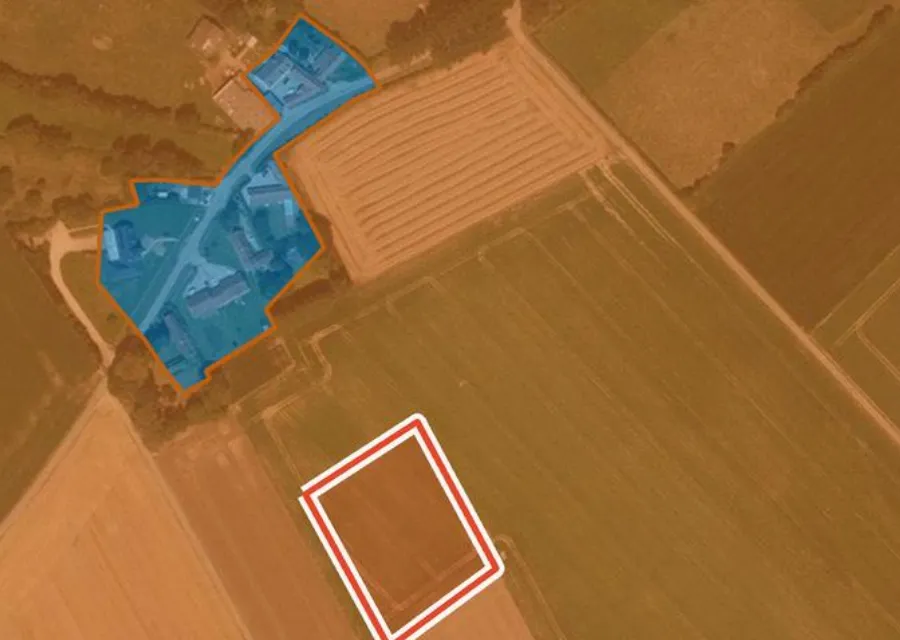
Looking at a mountain plot? Gather the public records first
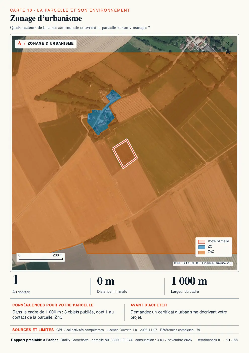
Pick the parcel on the map. The report sets out its outline, LiDAR relief, PLU zone, natural hazards, clay soils, Natura 2000 and recent sales nearby, each with its source and date and explained in English. It does not say whether your project complies with the Loi Montagne: the town hall decides that. Free check, PDF report for €29 (€39 in French and English).
