Pillar: Buying building land in France
Viewing land in France before you buy: what to look at and photograph
Before any written offer, check on site: the boundary markers at the corners, the access on foot from the public road, the slope, low ground and water marks, trees close to the boundary, and the poles, cabinets and manhole covers in the street. Photograph every marker, the access, any water marks and each visible utility. Bring the cadastral map extract (free on cadastre.gouv.fr) and the zone rules of the PLU, the local land-use plan; allow one to two hours on site (TerrainCheck estimate).
In brief
- Take with you an extract of the cadastral map (the land tax map), free in A3 or A4, and the rules of the plot’s zone in the PLU, the local land-use plan (on the Géoportail de l’urbanisme or at the mairie, the town hall). If the land lies in an area listed in article L125-5 of the Environment Code, the seller has to hand you the risk statement at the first viewing.
- Boundaries: the cadastral map does not fix property lines. They are fixed by a bornage (boundary survey) report signed by both neighbours or, if they disagree, by a court judgment on the boundary. Look for the boundary stones (bornes) at the corners and ask the seller for the signed report or the judgment.
- Trees: unless local rules or customs say otherwise, 2 m from the boundary for anything taller than 2 m, 0.5 m for the rest (Civil Code, art. 671), except espaliers against a dividing wall that stay below its top. A tree or hedge protected in the PLU can, as a rule, only be felled after a prior declaration, with exceptions such as dangerous trees and dead wood.
- Neighbours: where a rule sets a distance between farm buildings and homes, the same distance generally applies to a new house (Rural Code, art. L111-3), with possible exemptions. Note livestock buildings and noisy roads.
On this page
Before the viewing: the papers to bring
Allow about an hour to prepare (TerrainCheck estimate).
| Document | Where to get it | Cost and time | What to compare on site |
|---|---|---|---|
| Cadastral map extract | cadastre.gouv.fr (French only), the mairie or the tax office | Free in A3 or A4; viewable online | Shape, tracks, neighbours. The map does not fix boundaries. |
| PLU zoning, rules and annexes | Géoportail de l’urbanisme or the mairie, which keeps the approved PLU available to the public | No charge in the texts cited; viewable online | Protected hedges and trees, easements, noise sectors |
| Risk statement (état des risques) | The seller, at the first viewing if the land is in an area listed in art. L125-5 | Drawn up by the seller | Low ground, streams, banks |
| Information planning certificate | The mairie, on a form or online | Free; 1 month to process | Planning rules and easements on the plot |
What to have in hand before you go to the land. Sources: Service-Public: how to consult the cadastre; Planning Code, art. L153-22; Planning Code, art. L133-1; Environment Code, art. L125-5 (version of 1 January 2025); Service-Public: planning certificate. Accessed 12 November 2026.
See also reading the PLU and the planning certificate.
A written offer, even by email, commits you: make it after the viewing. According to Service-Public, the government information site, a buyer of a stand-alone building plot has no right to withdraw.
On the plot: boundaries, access, slope, utilities
One to two hours on site is enough for a plot of a few thousand square metres (TerrainCheck estimate).
1. Boundary stones and fences
The cadastral map is a tax document: it does not fix property lines. The line is fixed by a bornage report, drawn up by a géomètre-expert (chartered land surveyor) who sets the markers (bornes) and signed by both neighbours, or, if they disagree and an amicable attempt fails, by a court judgment. Markers do not show which of these exists: ask the seller. Look for the markers at the corners, compare fences and walls with the cadastral outline and photograph each one. See boundary surveys.
2. Access from the public road
Walk the route from the public road to the land. If it crosses a neighbour’s plot, you need a written right of way. The owner of land with no adequate outlet to a public road can claim a passage over neighbouring land, against compensation in proportion to the damage caused (Civil Code, art. 682). See landlocked plots.
3 and 4. Slope, run-off and low ground
Note which way the land falls, ditches, boggy patches and standing water. Lower land must take water flowing naturally from higher land without human intervention, and the owner above may do nothing that makes this worse (Civil Code, art. 640). This covers rain, spring and snow-melt water, not waste water (Service-Public). Compare low spots with the risk statement and the flood maps.
5 and 6. Visible utilities and overhead lines
In the street, photograph poles, meter cabinets, manhole covers and hydrants. They do not prove a connection is possible, but they tell you what to ask the operators. If supplying the plot needs work on the public water, sewer or electricity networks, a permit can only be granted if the authority can say when and by whom the work will be done (Planning Code, art. L111-11). See serviced or unserviced plots.
A power line over the land may come with a public-interest easement (servitude d’utilité publique). These are listed in an annex to the PLU (art. L151-43): check them with the easements guide.
Trees and hedges: the Civil Code and the PLU
The Civil Code governs trees between neighbours; the PLU can also protect a tree or hedge for the landscape.
| What you see | Rule | Text |
|---|---|---|
| Tree over 2 m near the boundary | Unless local rules or customs differ, at least 2 m from the line; 0.5 m for plants 2 m tall or less. Exception: espaliers (trained flat) against a dividing wall, no distance, kept below its top (a wall not shared: its owner only). Ask the mairie about local customs. | Civil Code, art. 671 |
| Planting too close | The neighbour can require removal or cutting back, unless there is a written title, a destination du père de famille (a layout set by a former common owner) or 30 years’ prescription, from when the tree passed the permitted height. | Civil Code, art. 672 |
| Branches or roots crossing | The neighbour can make you cut overhanging branches and may cut roots, brambles and shoots at the line. This right never lapses. | Civil Code, art. 673 |
| Classified wood, park, hedge or single tree | No change of use or occupation of the land likely to compromise the woodland; felling needs a prior declaration, except in the cases of art. R421-23-2. | Planning Code, L113-1, L113-2, R*421-23 g |
| Landscape feature identified in the PLU | Works that alter or remove it need a prior declaration; so does a fence in that sector. | Planning Code, L151-19, L151-23, R*421-23 h, R*421-12 c |
Trees and hedges: rules between neighbours and protections in the PLU. Sources: Civil Code, art. 671; Civil Code, art. 672; Civil Code, art. 673; Service-Public: planting distances and heights between neighbours; Planning Code, art. L113-1; Planning Code, art. L113-2; Planning Code, art. R*421-23; Planning Code, art. R421-23-2; Planning Code, art. L151-19; Planning Code, art. L151-23; Planning Code, art. R*421-12. Accessed 12 November 2026.
On site, estimate how far large trees stand from the boundary, on both sides. Height is measured from the ground to the top, distance from the middle of the trunk. For a tree too close to the line, the 30 years run not from planting but from the day it grew past the height allowed at that distance (art. 672, Service-Public); have the notaire check that date.
Around the plot: buildings, farms, noise
For the sample parcel F 274 in Brailly-Cornehotte (Somme, northern France), the cadastral map shows 5 buildings within 100 m of the boundary and 34 within 250 m.
Where rules set a distance between farm buildings and homes, the same distance applies to any new non-farm building needing a permit, except extensions (Rural Code, art. L111-3). In a commune’s currently built-up parts, the PLU or, without one, the municipal council can set other rules. Outside the sectors that have such rules, the authority granting the permit can allow a shorter distance to reflect local conditions, after consulting the chamber of agriculture. Ask the mairie which distance applies; for classified industrial or farming installations, see ICPE sites near land.
For noise, where relevant, the PLU annexes show the sectors near roads and railways where sound-insulation requirements apply, with the reference of the prefect’s orders (Planning Code, art. R151-53, 5°).
Questions for the seller and the town hall
- Seller, during the viewing: is there a procès-verbal de bornage (signed boundary report)? Any written easements or rights of way? Since when have trees near a boundary been taller than allowed? Does water lie after heavy rain? Cost: nothing. Time: no deadline in the texts cited; get the answers in writing before any offer.
- Seller, before an offer: the risk statement if you did not get it, the title deed and any studies already done on the land. Cost: nothing to you. Time: no deadline in the texts cited for these papers; the risk statement itself is due at the first viewing.
- Mairie, planning department: the PLU zone, whether a revision is under way, protected trees or hedges, the distance required near a farm building. Consulting the PLU: no charge or deadline in the texts cited.
- Mairie, on a form or online: the information planning certificate, which a prospective buyer may apply for, free, processed within 1 month; the operational certificate, free, within 2 months, if you have a specific project.
In the report: the page to take to the plot
The checklist to print
- Cadastral extract, PLU zone rules and risk statement (if the land is in a listed area) in hand.
- Boundary stones looked for at the corners; fences and walls compared with the cadastral outline; photos taken.
- Route walked from the public road; any crossing of a neighbour’s land noted.
- Direction of slope, ditches, low ground and water marks photographed.
- Poles, cabinets, manhole covers and overhead lines spotted in the street and over the plot.
- Large trees within 2 m of a boundary; hedges and woodland checked on the zoning map.
- Neighbouring buildings identified (home, livestock, workshop); noise noted at the time of the visit.
- Written questions to the seller; planning certificate applied for if a doubt remains.
Next, go through the checks before the compromis, the binding preliminary contract.
Common questions
Does the seller have to give me the risk statement at the viewing?
Yes, if the land lies in an area listed in article L125-5 of the Environment Code: when a property is put up for sale, the risk statement is handed to the prospective buyer at the first viewing, if one takes place.
Is the cadastral map enough to find the boundaries?
No. Service-Public explains that it is a tax document and does not fix property lines. The line is fixed by a bornage report signed by the neighbours or, if they disagree, by a court judgment; ask the seller for either document.
The neighbour has a tall tree 1 m from the boundary. What now?
Unless local rules or customs differ, a tree over 2 m tall must stand 2 m from the line, unless it is an espalier against a dividing wall kept below its top (art. 671). The neighbour can be required to remove or cut it back, unless there is a written title, a former common owner’s layout or 30 years’ prescription (art. 672). The 30 years run from when it passed the permitted height: ask since when, and have the notaire confirm it before an offer.
Keep reading
Buying building land in France: checks before the compromis
Land boundary survey (bornage) in France: when it is required, how the price is set and who pays
Easements (servitudes) on French land: where to find them before you buy
France’s risk statement (ERP) for land: what the seller must give you, the six-month rule and what it leaves out
Print the viewing page for your parcel
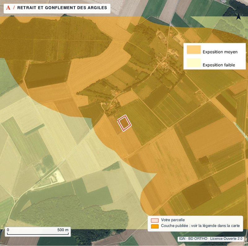
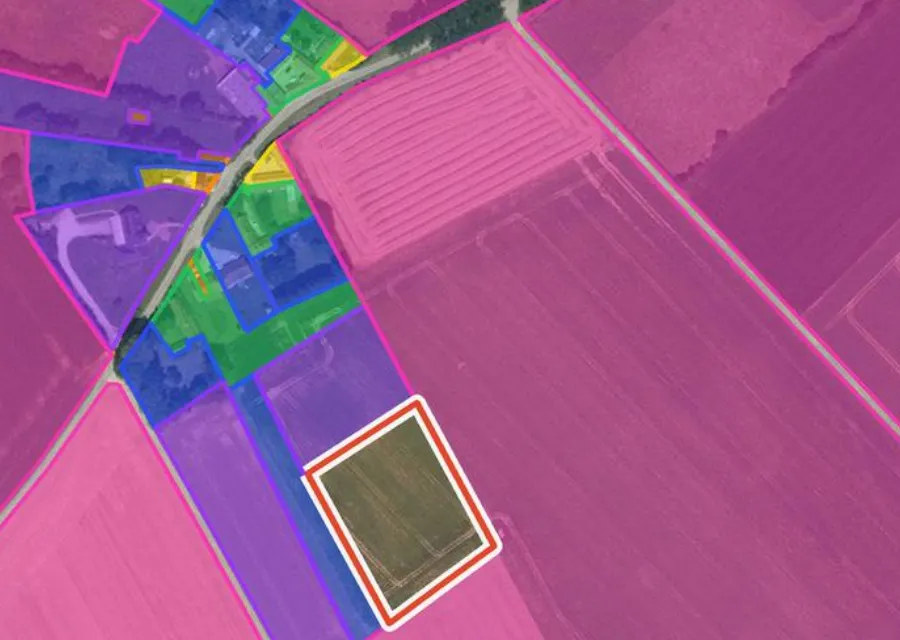
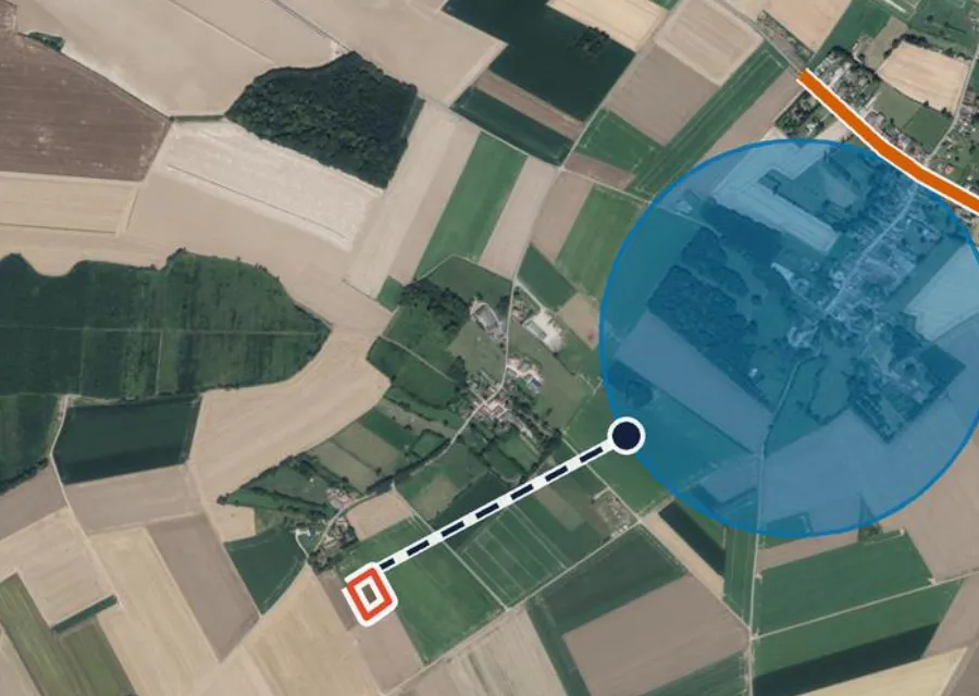
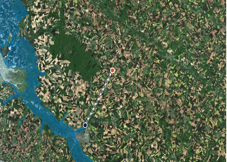
Pick the parcel on the map. The report places its outline on the aerial photograph and lists what to look at on site: planning zone, published hazards, clay soils, nearest road, each with its source and date, explained in English. It does not replace a boundary survey or the viewing itself. Free preview, PDF report for €29 (€39 in French and English).
