Pillar: Buying building land in France
France’s ZAN land-take rules: could your plot lose its building status, and what to check before buying
Yes: land zoned U or AU in a French local plan (PLU) can become unbuildable if the plan is revised or amended, and the 2021 Climate and Resilience Act requires PLUs and cartes communales (simpler municipal maps) to build in lower land consumption, in force by 22 February 2028 at the latest. Before you buy, ask the town hall whether a procedure is under way, then apply for an operational planning certificate (free, processed within 2 months of receipt of the application).
In brief
- National target (Act of 22 August 2021, art. 191): over ten years, consume less than half the natural, agricultural and forest land consumed in the previous ten, then no net land take in 2050.
- AU zones (land “to be urbanised” in the PLU, the local zoning plan): if the PLU or carte communale (a simpler municipal map) that has to take in these targets is not in force by 22 February 2028, no planning consent may be issued there, nor in the building sectors of a carte communale, until it is (art. 194, IV, 9°).
- The guaranteed minimum of one hectare covers the whole commune (municipality) for 2021–2031, if its PLU or carte communale was launched, drafted or approved before 22 August 2026. It is not a building right attached to any plot.
- A planning certificate freezes for 18 months the rules that apply to a permit applied for within that time, except rules protecting public safety or health, and it states whether a permit could be deferred (art. L410-1).
On this page
What the law sets: half by 2031, net zero in 2050
Under article 191 of the Climate and Resilience Act, land consumption observed across France over the ten years after the Act must be “less than half” that of the previous ten years, on the way to no net land take in 2050. The ministry places the periods at 2011–2021 and 2021–2031.
Until 2031, what counts is the consumption of natural, agricultural and forest land (ENAF in French), defined as “the creation or effective extension of urbanised areas” (art. 194, III, 5°). After that, the measure becomes net land take (artificialisation nette): the balance between land take and the restoration of land to a non-artificialised state (renaturation), recorded over a given area and period (Planning Code, art. L101-2-1), read from land-cover mapping (OCS GE).
The target works its way down through the plans. The regional plan (SRADDET; SDRIF in Île-de-France, PADDUC in Corsica, or a regional development scheme, SAR) shares it out, the SCoT (a strategic plan drawn up at intercommunal level) applies it locally, and the PLU or carte communale turns it into zones. Since 26 May 2026 these updates may be made by a simple modification (amendment) of the PLU or SCoT, not only by a full revision (art. 194, IV, 5°).
U zone or AU zone: where the risk lies
Consumption is measured parcel by parcel from the land tax file: an area counts once it moves from a natural or farming category (arable land, meadow, orchard, wood) into an urbanised one (built land, gardens, building land), “including inside the existing built-up envelope”, says Cerema, the public agency behind the figures. So a meadow between two houses counts in the same way as a field at the edge of the village, while a plot already recorded as a garden or building land adds nothing new to the count.
AU zones carry most of the risk: often still farmed, they count as consumption once built on, and a PLU may plan to open natural, agricultural or forest land to development only if a densification study shows that the capacity to build in areas already developed is being used (art. L151-5). AU zones are also where consents stop if the PLU is not updated by 22 February 2028.
A U zone (already built-up) is not safe from a revision, but article 194 does not freeze consents there. Without a PLU or carte communale, the national planning rules (RNU) apply, guaranteed hectare or not. In Corsica, from 22 August 2030, built-up areas may not be extended in communes with no PLU, equivalent document or carte communale (art. 194, IV bis).
The guaranteed hectare, and its limits
An Act of 20 July 2023 added a floor: a commune covered by a PLU, an equivalent document or a carte communale launched, drafted or approved before 22 August 2026 cannot be left, when the targets are shared out, with less than one hectare of consumption for 2021–2031. The mayor may ask to pool it at intercommunal level; a merged commune created after 1 January 2011 gets 0.5 hectare more for each former commune, two hectares at most. One hectare is 10,000 m² for ten years and the whole commune, roads and access included.
Sources: Act no. 2021-1104, art. 194 (version of 20 August 2026); Planning Code, art. L151-5 (PLU strategy, PADD); Cerema: how land consumption is measured; Ecology ministry, land take (27 October 2025). Accessed 13 November 2026.
Spotting a PLU under revision or amendment
The council decision that launches the drafting or revision of a PLU, stating its aims, and the decision adopting the draft plan are published electronically on the Géoportail de l’urbanisme, the national planning portal; if a breakdown or technical difficulty prevents this, they are published electronically under the general rules for local authorities (art. R153-20 and R153-22). Communes under 3,500 inhabitants that publish by notice post these acts at the mairie (town hall) for one month. So check both the portal and the commune’s own notices: an act missing from the portal does not prove that no procedure has started.
| Signal | Where to see it | What it means |
|---|---|---|
| Revision launched | Géoportail de l’urbanisme; council decisions at the mairie | The procedure has started and its aims are written in the decision. |
| PADD debate held | Minutes of the municipal or intercommunal council | A permit that would compromise the future plan may be deferred (L153-11): 2 years at most, 3 in total on different grounds (L424-1). |
| Draft plan adopted | Géoportail; mairie; public inquiry | The proposed zoning is known: check where the plot falls. |
| Amendment under way | Public consultation or inquiry at the mairie | Since 26 May 2026 it can be enough to bring in the ZAN targets. |
| “ZAN” deferral | Reasoned decision on a permit application | Possible during the first ten-year period (2021–2031) if the project takes ENAF land and compromises the targets of the plan being prepared; ruled out if an area at least equal to the footprint is returned to nature (art. 194, IV, 14°). |
The PADD (projet d’aménagement et de développement durables) is the part of the PLU that sets its strategy, including numerical targets for limiting land consumption. Sources: Planning Code, art. R153-20 (acts to be published); Planning Code, art. R153-22 (publication on the national portal); Planning Code, art. L153-11 (deferral while a plan is drawn up); Planning Code, art. L153-33 (PLU revision); Planning Code, art. L424-1 (length of a deferral); Act no. 2021-1104, art. 194 (version of 20 August 2026); Géoportail de l’urbanisme: FAQ. Accessed 13 November 2026.
Géoportail data is for information only: the documents held at the town hall, the intercommunal body or the prefecture are the authoritative ones.
Before the compromis: five steps
- Find the plan, its date and any published procedures. Where: Géoportail de l’urbanisme and the commune’s notices. Cost: nothing. Time: about ten minutes (TerrainCheck estimate). Reading the zone: is my land buildable?
- Ask the mairie or the intercommunal body in writing: is a revision or amendment under way? Has the PADD been debated? Is the plot affected? Ask for the decision that launched the procedure. Cost: nothing. Time: no time limit is set by the texts cited.
- Apply for an operational planning certificate describing your project. Where: the mairie. Cost: free. Time limit: 2 months from receipt of the application at the mairie (R*410-10). Validity: 18 months, extendable a year at a time if rules, easements and taxes are unchanged, on a request made at least 2 months before expiry (R*410-17). See planning certificates.
- Make the purchase conditional on the permit with a condition precedent (condition suspensive) in the compromis de vente, the binding preliminary contract, for long enough to cover processing and any extension of it; do not count on a guaranteed two months. See the key clauses of the compromis.
- Apply for the permit while the certificate is valid. Standard processing time for a single-family house: 2 months from receipt of a complete application at the mairie (R*423-19 and R*423-23), longer in the cases the code lists, for example one month more near a historic monument or where the CDPENAF (the departmental farmland commission) must give an opinion (R423-24); see building permit processing times. Once granted, how long the permit stays valid, when it lapses and how it can be extended are set by article R*424-17 and the articles after it, with a transitional regime (decree 2025-461) noted under the article for certain older decisions: see buying land with a granted permit.
Sources: Service-Public: planning certificate; Planning Code, art. L410-1 (effects of the planning certificate); Planning Code, art. R*410-10 (time limit, operational certificate); Planning Code, art. R*410-17 (extension of the certificate); Planning Code, art. R*423-19 (when the processing time starts); Planning Code, art. R*423-23 (processing times); Planning Code, art. R423-24 (one-month extension of the processing time); Planning Code, art. R*424-17 (lapse of a permit); Planning Code, art. R*424-21 (extension of a permit). Accessed 13 November 2026.
Land consumption by region
Cerema’s commune file gives the ENAF land consumed in the decade 2011–2021 and in the four years after it (1 January 2021 to 1 January 2025). For France excluding Mayotte, the pace fell from about 22,673 hectares a year to about 18,164. Those four years used 72,658 hectares, about 64% of half the 2011–2021 decade (113,367 hectares). This is an indicative calculation: the target is measured nationally, and each region has its own allowance.
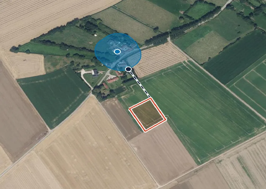
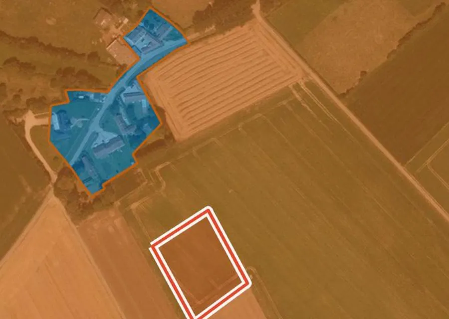
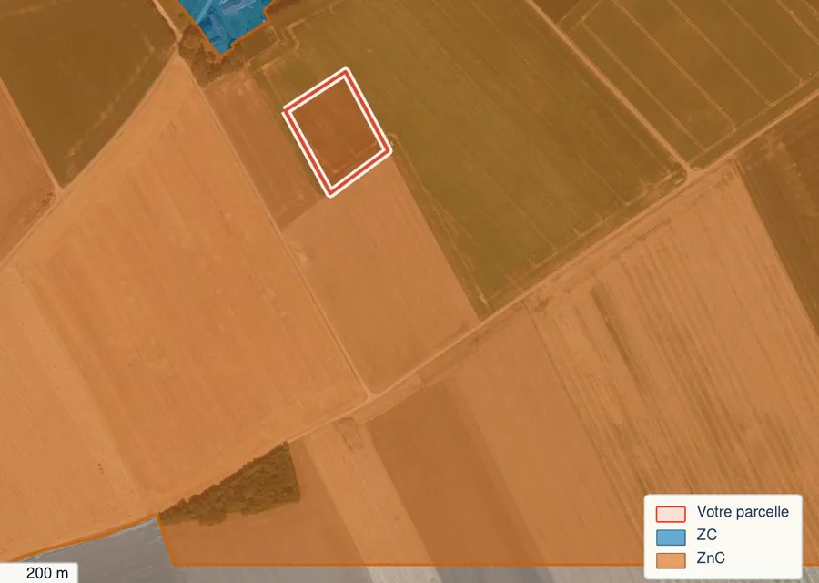
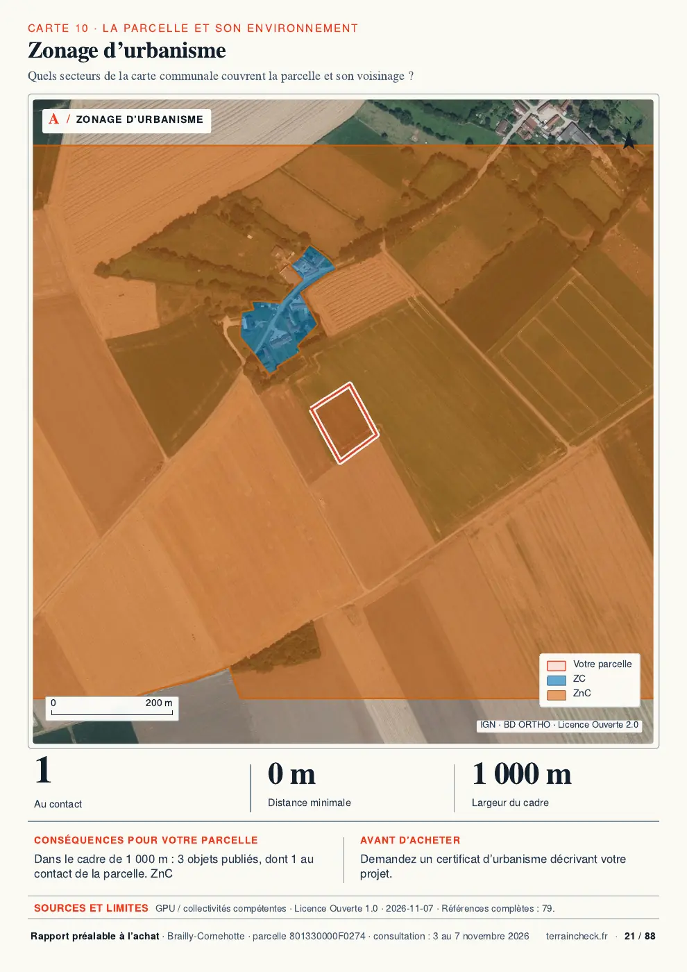
In the report: land take around the parcel
Before you sign
- Planning document, approval date and the plot’s zone noted.
- Published procedures checked on the Géoportail and with the commune: launch, draft plan adopted, amendment.
- Written answer from the mairie or intercommunal body about any revision or amendment.
- AU zone: PLU already updated for the ZAN targets, or due in force before 22 February 2028.
- Operational planning certificate obtained, including any mention of a possible deferral.
- Condition precedent on obtaining the building permit written into the compromis.
Read next: reading the PLU before buying and building a house on agricultural land.
Common questions
Does the ZAN law make my land unbuildable?
Not directly. The law sets targets that the regional plan, the SCoT and then the PLU or carte communale must take in. It is the revision or amendment of that plan that can change a plot’s zone. One rule applies even without a decision by the commune: if the PLU or carte communale is not updated in time (22 February 2028), no consent is issued in an AU zone or in the building sectors of a carte communale until it is.
Is a plot in an AU zone more exposed than one in a U zone?
Usually, yes: an AU zone still being farmed counts as land consumption once built on, and opening it has to be justified by a densification study. A meadow in a U zone also counts if it moves into an urbanised category.
Does a planning certificate protect me against rezoning?
For 18 months, for a permit applied for within that time, the planning rules, taxes and administrative limits it states cannot be called into question, except rules protecting public safety or health. If it mentions that a deferral could be applied, the mairie may postpone its decision on the permit.
Keep reading
Land reclassified as non-buildable: appeals and compensation in France
Is a plot buildable in France? How to check the zone, utilities, easements and the official answer
Can agricultural land become buildable in France? Procedure, timescales and taxes
Can you build a house on agricultural land in France? A zones, carte communale, national rules and farmers’ homes
French planning certificates: information or operational CU before buying land
Zone, planning document, land cover: see what is published for the parcel
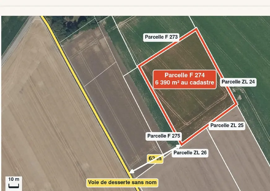
Pick the parcel on the map. The report names the planning document and zone covering it, shows the land take mapped around it, and sets out easements and natural hazards, each with its source and date and explained in English. It cannot tell you whether the commune will revise its PLU or whether your permit will be granted: the town hall and the planning certificate answer that. Free preview, PDF report for €29 (€39 in French and English).
